Distance to Seneca, Nebraska

Calculating Your Route
Just a moment while we process your request...
Location Information
-
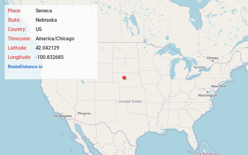
Full AddressSeneca, NE 69161
-
Coordinates42.0421293, -100.8326847
-
LocationSeneca , Nebraska , US
-
TimezoneAmerica/Chicago
-
Current Local Time10:06:05 PM America/ChicagoWednesday, June 18, 2025
-
Page Views0
About Seneca
Seneca is an unincorporated community in Thomas County, Nebraska in the Great Plains region of the United States. The population was 33 at the 2010 census.
Seneca was established on the Chicago, Burlington and Quincy Railroad in 1888.
Nearby Places
Found 7 places within 50 miles

Mullen
10.8 mi
17.4 km
Mullen, NE 69152
Get directions

Thedford
13.9 mi
22.4 km
Thedford, NE 69166
Get directions

Halsey
30.5 mi
49.1 km
Halsey, NE
Get directions

Tryon
34.4 mi
55.4 km
Tryon, NE 69167
Get directions
Dunning
40.2 mi
64.7 km
Dunning, NE 68833
Get directions

Stapleton
42.2 mi
67.9 km
Stapleton, NE 69163
Get directions

Hyannis
47.8 mi
76.9 km
Hyannis, NE
Get directions
Location Links
Local Weather
Weather Information
Coming soon!
Location Map
Static map view of Seneca, Nebraska
Browse Places by Distance
Places within specific distances from Seneca
Short Distances
Long Distances
Click any distance to see all places within that range from Seneca. Distances shown in miles (1 mile ≈ 1.61 kilometers).