Distance to Hoopa, California

Calculating Your Route
Just a moment while we process your request...
Location Information
-
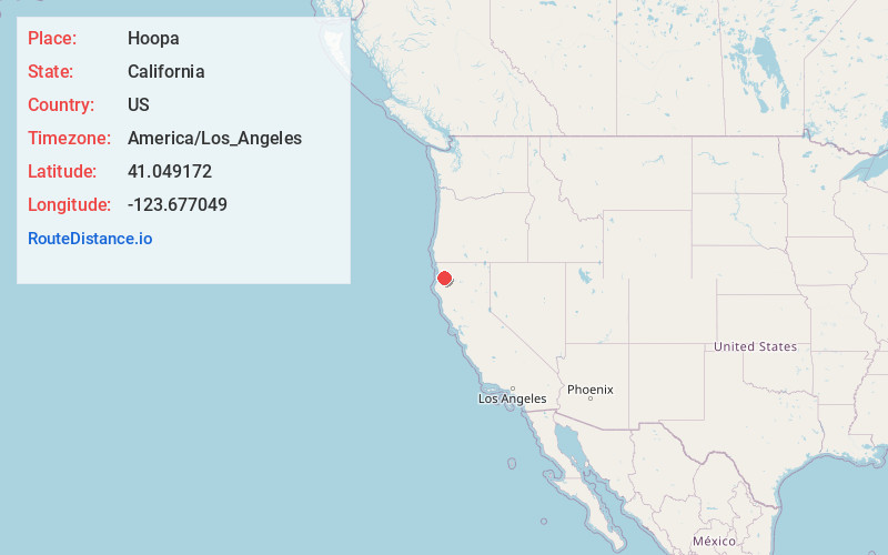
Full AddressHoopa, CA
-
Coordinates41.0491723, -123.6770485
-
LocationHoopa , California , US
-
TimezoneAmerica/Los_Angeles
-
Current Local Time1:35:25 AM America/Los_AngelesSunday, June 8, 2025
-
Website
-
Page Views0
About Hoopa
Hoopa is an unincorporated community and census-designated place in Humboldt County, California. It is located 10 miles south of Weitchpec, at an elevation of 328 feet. The ZIP Code is 95546.


Nearby Places
Found 10 places within 50 miles

McKinleyville
23.2 mi
37.3 km
McKinleyville, CA 95519
Get directions

Arcata
24.7 mi
39.8 km
Arcata, CA
Get directions

Myrtletown
29.7 mi
47.8 km
Myrtletown, CA
Get directions

Eureka
30.6 mi
49.2 km
Eureka, CA
Get directions

Cutten
31.1 mi
50.1 km
Cutten, CA 95503
Get directions

Humboldt Hill
34.9 mi
56.2 km
Humboldt Hill, CA 95503
Get directions

Fortuna
40.0 mi
64.4 km
Fortuna, CA 95540
Get directions

Hayfork
42.9 mi
69.0 km
Hayfork, CA 96041
Get directions

Rio Dell
44.1 mi
71.0 km
Rio Dell, CA
Get directions

Weaverville
44.2 mi
71.1 km
Weaverville, CA
Get directions
Location Links
Local Weather
Weather Information
Coming soon!
Location Map
Static map view of Hoopa, California
Browse Places by Distance
Places within specific distances from Hoopa
Short Distances
Long Distances
Click any distance to see all places within that range from Hoopa. Distances shown in miles (1 mile ≈ 1.61 kilometers).