Distance to Hayfork, California

Calculating Your Route
Just a moment while we process your request...
Location Information
-
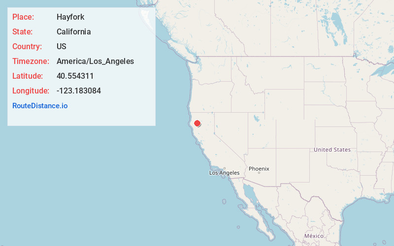
Full AddressHayfork, CA 96041
-
Coordinates40.5543106, -123.1830839
-
LocationHayfork , California , US
-
TimezoneAmerica/Los_Angeles
-
Current Local Time3:12:40 PM America/Los_AngelesWednesday, May 21, 2025
-
Page Views0


Nearby Places
Found 9 places within 50 miles

Weaverville
17.6 mi
28.3 km
Weaverville, CA
Get directions

Happy Valley
41.5 mi
66.8 km
Happy Valley, CA 96007
Get directions

Redding
42.0 mi
67.6 km
Redding, CA
Get directions

Shasta Lake
43.5 mi
70.0 km
Shasta Lake, CA 96019
Get directions

Anderson
47.1 mi
75.8 km
Anderson, CA 96007
Get directions

Bella Vista
48.3 mi
77.7 km
Bella Vista, CA
Get directions

Rio Dell
48.6 mi
78.2 km
Rio Dell, CA
Get directions

Cottonwood
48.8 mi
78.5 km
Cottonwood, CA 96022
Get directions

Palo Cedro
49.6 mi
79.8 km
Palo Cedro, CA
Get directions
Location Links
Local Weather
Weather Information
Coming soon!
Location Map
Static map view of Hayfork, California
Browse Places by Distance
Places within specific distances from Hayfork
Short Distances
Long Distances
Click any distance to see all places within that range from Hayfork. Distances shown in miles (1 mile ≈ 1.61 kilometers).