Distance to Palo Cedro, California

Calculating Your Route
Just a moment while we process your request...
Location Information
-
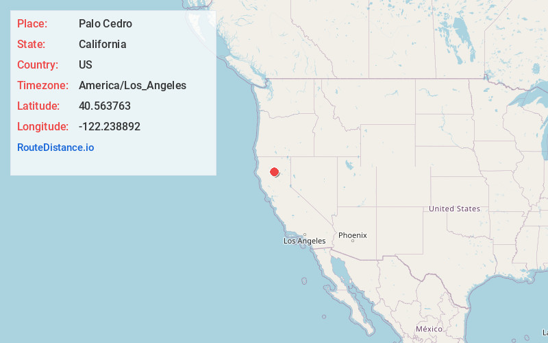
Full AddressPalo Cedro, CA
-
Coordinates40.5637631, -122.2388916
-
LocationPalo Cedro , California , US
-
TimezoneAmerica/Los_Angeles
-
Current Local Time10:52:08 PM America/Los_AngelesFriday, June 20, 2025
-
Page Views0
About Palo Cedro
Palo Cedro is a census-designated place in Shasta County, California, United States. It is 8 miles east of Redding. Its population is 2,931 as of the 2020 census, up from 1,269 from the 2010 census.

Nearby Places
Found 9 places within 50 miles

Bella Vista
4.9 mi
7.9 km
Bella Vista, CA
Get directions

Redding
7.6 mi
12.2 km
Redding, CA
Get directions

Anderson
8.6 mi
13.8 km
Anderson, CA 96007
Get directions

Shasta Lake
10.6 mi
17.1 km
Shasta Lake, CA 96019
Get directions

Happy Valley
11.7 mi
18.8 km
Happy Valley, CA 96007
Get directions

Cottonwood
12.5 mi
20.1 km
Cottonwood, CA 96022
Get directions

Red Bluff
26.6 mi
42.8 km
Red Bluff, CA 96080
Get directions

Weaverville
38.6 mi
62.1 km
Weaverville, CA
Get directions

Corning
44.1 mi
71.0 km
Corning, CA 96021
Get directions
Location Links
Local Weather
Weather Information
Coming soon!
Location Map
Static map view of Palo Cedro, California
Browse Places by Distance
Places within specific distances from Palo Cedro
Short Distances
Long Distances
Click any distance to see all places within that range from Palo Cedro. Distances shown in miles (1 mile ≈ 1.61 kilometers).