Distance to Corning, California

Calculating Your Route
Just a moment while we process your request...
Location Information
-
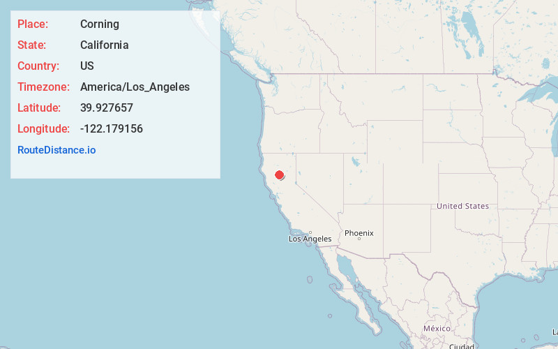
Full AddressCorning, CA 96021
-
Coordinates39.9276572, -122.1791556
-
LocationCorning , California , US
-
TimezoneAmerica/Los_Angeles
-
Current Local Time10:34:26 PM America/Los_AngelesTuesday, June 3, 2025
-
Website
-
Page Views0
About Corning
Corning is a city in Tehama County, California, that is located about 19 miles south of Red Bluff and about 100 miles north of Sacramento. The population was 8,244 at the 2020 census, up from 7,663 at the 2010 census.


Nearby Places
Found 7 places within 50 miles

Orland
12.5 mi
20.1 km
Orland, CA 95963
Get directions

Red Bluff
17.6 mi
28.3 km
Red Bluff, CA 96080
Get directions

Chico
22.7 mi
36.5 km
Chico, CA
Get directions

Magalia
32.8 mi
52.8 km
Magalia, CA
Get directions

Anderson
36.5 mi
58.7 km
Anderson, CA 96007
Get directions

Oroville
43.7 mi
70.3 km
Oroville, CA
Get directions

Redding
46.0 mi
74.0 km
Redding, CA
Get directions
Location Links
Local Weather
Weather Information
Coming soon!
Location Map
Static map view of Corning, California
Browse Places by Distance
Places within specific distances from Corning
Short Distances
Long Distances
Click any distance to see all places within that range from Corning. Distances shown in miles (1 mile ≈ 1.61 kilometers).