Distance to Hoover, Missouri

Calculating Your Route
Just a moment while we process your request...
Location Information
-
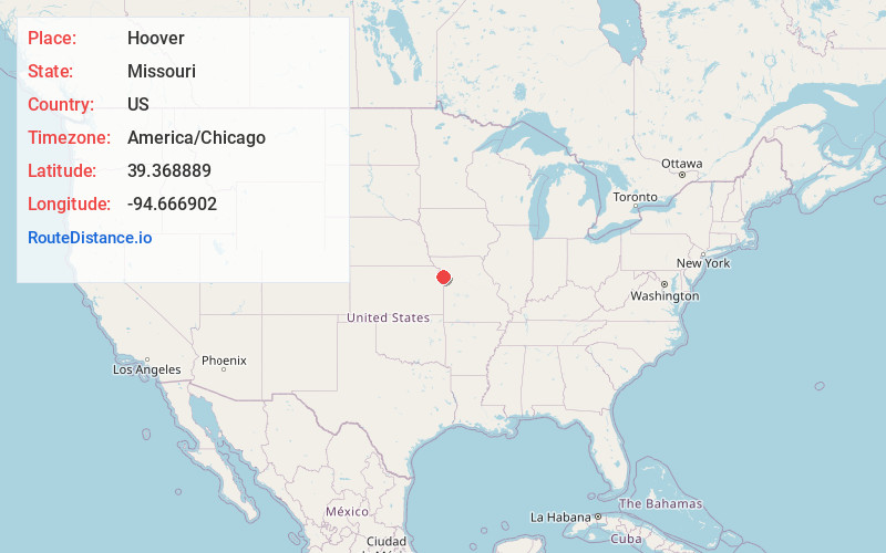
Full AddressHoover, Carroll Township, MO 64089
-
Coordinates39.3688888, -94.6669021
-
LocationCarroll Township , Missouri , US
-
TimezoneAmerica/Chicago
-
Current Local Time10:51:26 PM America/ChicagoThursday, June 19, 2025
-
Page Views0
Nearby Places
Found 10 places within 50 miles

Kerrville
1.6 mi
2.6 km
Kerrville, Carroll Township, MO 64079
Get directions
Ferrelview
4.0 mi
6.4 km
Ferrelview, MO
Get directions
Platte Gardens
4.7 mi
7.6 km
Platte Gardens, Kansas City, MO 64153
Get directions

Smithville
4.8 mi
7.7 km
Smithville, MO 64089
Get directions

Platte City
6.2 mi
10.0 km
Platte City, MO 64079
Get directions
Ridgely
6.2 mi
10.0 km
Ridgely, MO 64444
Get directions
Tracy
6.8 mi
10.9 km
Tracy, MO 64079
Get directions
Camden Point
7.0 mi
11.3 km
Camden Point, MO
Get directions

Trimble
8.9 mi
14.3 km
Trimble, MO 64492
Get directions

Weatherby Lake
9.2 mi
14.8 km
Weatherby Lake, MO 64152
Get directions
Location Links
Local Weather
Weather Information
Coming soon!
Location Map
Static map view of Hoover, Missouri
Browse Places by Distance
Places within specific distances from Hoover
Short Distances
Long Distances
Click any distance to see all places within that range from Hoover. Distances shown in miles (1 mile ≈ 1.61 kilometers).