Distance to Hopeton, California

Calculating Your Route
Just a moment while we process your request...
Location Information
-
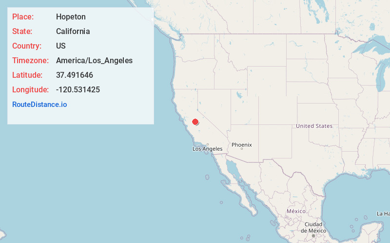
Full AddressHopeton, CA 95369
-
Coordinates37.491646, -120.531425
-
LocationHopeton , California , US
-
TimezoneAmerica/Los_Angeles
-
Current Local Time2:56:34 PM America/Los_AngelesWednesday, May 21, 2025
-
Page Views0
About Hopeton
Hopeton is an unincorporated community in Merced County, California. It is located 10.5 miles north-northeast of Atwater, at an elevation of 184 feet.
Hopeton is located in the Merced River bottom west of Snelling.

Nearby Places
Found 10 places within 50 miles

Amsterdam
4.3 mi
6.9 km
Amsterdam, CA 95388
Get directions

Snelling
5.5 mi
8.9 km
Snelling, CA 95369
Get directions

Winton
8.4 mi
13.5 km
Winton, CA 95388
Get directions

Cressey
8.9 mi
14.3 km
Cressey, CA
Get directions

Ballico
9.7 mi
15.6 km
Ballico, CA 95303
Get directions
Montpelier
10.2 mi
16.4 km
Montpelier, CA 95316
Get directions

Atwater
10.8 mi
17.4 km
Atwater, CA 95301
Get directions

Merced Falls
11.1 mi
17.9 km
Merced Falls, CA 95369
Get directions
Arena
11.6 mi
18.7 km
Arena, CA 95334
Get directions

Cortez
11.6 mi
18.7 km
Cortez, CA 95380
Get directions
Location Links
Local Weather
Weather Information
Coming soon!
Location Map
Static map view of Hopeton, California
Browse Places by Distance
Places within specific distances from Hopeton
Short Distances
Long Distances
Click any distance to see all places within that range from Hopeton. Distances shown in miles (1 mile ≈ 1.61 kilometers).