Distance to Merced Falls, California

Calculating Your Route
Just a moment while we process your request...
Location Information
-
Full AddressMerced Falls, CA 95369
-
Coordinates37.524181, -120.333511
-
LocationMerced Falls , California , US
-
TimezoneAmerica/Los_Angeles
-
Current Local Time4:56:17 PM America/Los_AngelesWednesday, June 25, 2025
-
Page Views0
About Merced Falls
Merced Falls is an unincorporated community in Merced County, California. It is located on the north bank of the Merced River 6 miles east of Snelling, at an elevation of 348 feet.
Merced Falls was named for a set of rapids on the Merced River.
A post office operated at Merced Falls from 1856 to 1957.


Nearby Places
Found 10 places within 50 miles

Hornitos
5.5 mi
8.9 km
Hornitos, CA
Get directions

Snelling
5.7 mi
9.2 km
Snelling, CA 95369
Get directions

Lake Don Pedro
8.1 mi
13.0 km
Lake Don Pedro, CA
Get directions

Indian Gulch
9.4 mi
15.1 km
Indian Gulch, CA 95325
Get directions

La Grange
11.9 mi
19.2 km
La Grange, CA 95329
Get directions
Granite Springs
12.4 mi
20.0 km
Granite Springs, CA 95311
Get directions
Amsterdam
13.1 mi
21.1 km
Amsterdam, CA 95388
Get directions
Blanchard
14.3 mi
23.0 km
Blanchard, CA 95311
Get directions

Catheys Valley
14.4 mi
23.2 km
Catheys Valley, CA
Get directions

Coulterville
14.9 mi
24.0 km
Coulterville, CA 95311
Get directions
Location Links
Local Weather
Weather Information
Coming soon!
Location Map
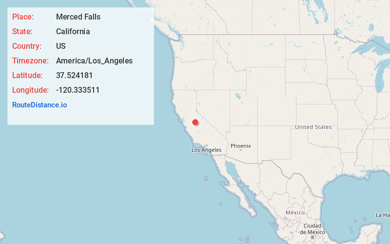
Static map view of Merced Falls, California
Browse Places by Distance
Places within specific distances from Merced Falls
Short Distances
Long Distances
Click any distance to see all places within that range from Merced Falls. Distances shown in miles (1 mile ≈ 1.61 kilometers).