Distance to Hoppestown, Pennsylvania

Calculating Your Route
Just a moment while we process your request...
Location Information
-
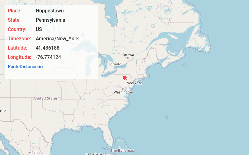
Full AddressHoppestown, Plunketts Creek Township, PA 17701
-
Coordinates41.4361884, -76.7741239
-
LocationPlunketts Creek Township , Pennsylvania , US
-
TimezoneAmerica/New_York
-
Current Local Time6:18:57 PM America/New_YorkThursday, June 19, 2025
-
Page Views0
Nearby Places
Found 10 places within 50 miles

Hillsgrove
3.5 mi
5.6 km
Hillsgrove, PA
Get directions

Plunketts Creek Township
4.4 mi
7.1 km
Plunketts Creek Township, PA 17701
Get directions
Masten
5.4 mi
8.7 km
Masten, PA 17724
Get directions

Loyalsock State Forest
5.9 mi
9.5 km
Loyalsock State Forest, Fox Township, PA 18616
Get directions
Cascade Township
6.6 mi
10.6 km
Cascade Township, PA
Get directions
Piatt
8.5 mi
13.7 km
Piatt, Fox Township, PA 17768
Get directions
Estella
9.4 mi
15.1 km
Estella, Elkland Township, PA 18616
Get directions
Wheelerville
9.6 mi
15.4 km
Wheelerville, PA 17768
Get directions
Forksville
9.7 mi
15.6 km
Forksville, PA 18616
Get directions

Eagles Mere
10.1 mi
16.3 km
Eagles Mere, PA
Get directions
Location Links
Local Weather
Weather Information
Coming soon!
Location Map
Static map view of Hoppestown, Pennsylvania
Browse Places by Distance
Places within specific distances from Hoppestown
Short Distances
Long Distances
Click any distance to see all places within that range from Hoppestown. Distances shown in miles (1 mile ≈ 1.61 kilometers).