Distance to Plunketts Creek Township, Pennsylvania

Calculating Your Route
Just a moment while we process your request...
Location Information
-
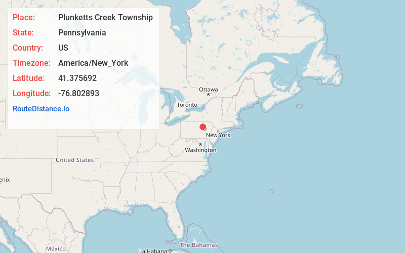
Full AddressPlunketts Creek Township, PA 17701
-
Coordinates41.3756921, -76.8028933
-
LocationPlunketts Creek Township , Pennsylvania , US
-
TimezoneAmerica/New_York
-
Current Local Time3:26:09 AM America/New_YorkSunday, June 1, 2025
-
Page Views0
About Plunketts Creek Township
Plunketts Creek Township is a township in Lycoming County, Pennsylvania, United States. It includes the villages of Barbours and Proctor. The population was 595 at the 2020 census, down from 684 at the 2010 census. It is part of the Williamsport Metropolitan Statistical Area.
Nearby Places
Found 10 places within 50 miles

Upper Fairfield Township
7.9 mi
12.7 km
Upper Fairfield Township, PA 17754
Get directions

Hughesville
10.2 mi
16.4 km
Hughesville, PA 17737
Get directions

Loyalsock State Forest
10.3 mi
16.6 km
Loyalsock State Forest, Fox Township, PA 18616
Get directions

Montoursville
10.4 mi
16.7 km
Montoursville, PA
Get directions

Muncy Creek
11.2 mi
18.0 km
Muncy Creek, Pennsylvania
Get directions

Kenmar
11.7 mi
18.8 km
Kenmar, PA 17701
Get directions

Muncy
11.8 mi
19.0 km
Muncy, PA 17756
Get directions
Faxon
12.3 mi
19.8 km
Faxon, PA 17701
Get directions
Piatt
12.9 mi
20.8 km
Piatt, Fox Township, PA 17768
Get directions

Williamsport
13.9 mi
22.4 km
Williamsport, PA 17701
Get directions
Location Links
Local Weather
Weather Information
Coming soon!
Location Map
Static map view of Plunketts Creek Township, Pennsylvania
Browse Places by Distance
Places within specific distances from Plunketts Creek Township
Short Distances
Long Distances
Click any distance to see all places within that range from Plunketts Creek Township. Distances shown in miles (1 mile ≈ 1.61 kilometers).