Distance to Horsetooth Heights, Colorado

Calculating Your Route
Just a moment while we process your request...
Location Information
-
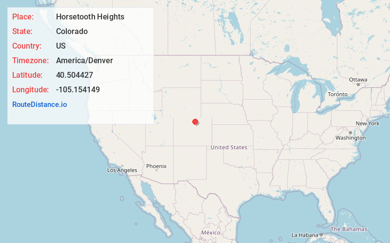
Full AddressHorsetooth Heights, CO 80526
-
Coordinates40.5044272, -105.1541486
-
LocationColorado , US
-
TimezoneAmerica/Denver
-
Current Local Time2:05:39 AM America/DenverMonday, June 16, 2025
-
Page Views0
Nearby Places
Found 10 places within 50 miles

Milner Mountain
1.6 mi
2.6 km
Milner Mountain, Colorado 80526
Get directions

Masonville
3.2 mi
5.1 km
Masonville, CO 80538
Get directions

Drakes
5.2 mi
8.4 km
Drakes, Fort Collins, CO 80525
Get directions
Harmony
6.0 mi
9.7 km
Harmony, Fort Collins, CO 80528
Get directions

Fort Collins
6.7 mi
10.8 km
Fort Collins, CO
Get directions
Little Dam
6.7 mi
10.8 km
Little Dam, CO 80538
Get directions

Laporte
8.5 mi
13.7 km
Laporte, CO
Get directions
Cedar Cove
8.5 mi
13.7 km
Cedar Cove, CO 80537
Get directions

Arrowhead
8.5 mi
13.7 km
Arrowhead, CO 80524
Get directions

Loveland
8.6 mi
13.8 km
Loveland, CO
Get directions
Location Links
Local Weather
Weather Information
Coming soon!
Location Map
Static map view of Horsetooth Heights, Colorado
Browse Places by Distance
Places within specific distances from Horsetooth Heights
Short Distances
Long Distances
Click any distance to see all places within that range from Horsetooth Heights. Distances shown in miles (1 mile ≈ 1.61 kilometers).