Distance to Hospah, New Mexico

Calculating Your Route
Just a moment while we process your request...
Location Information
-
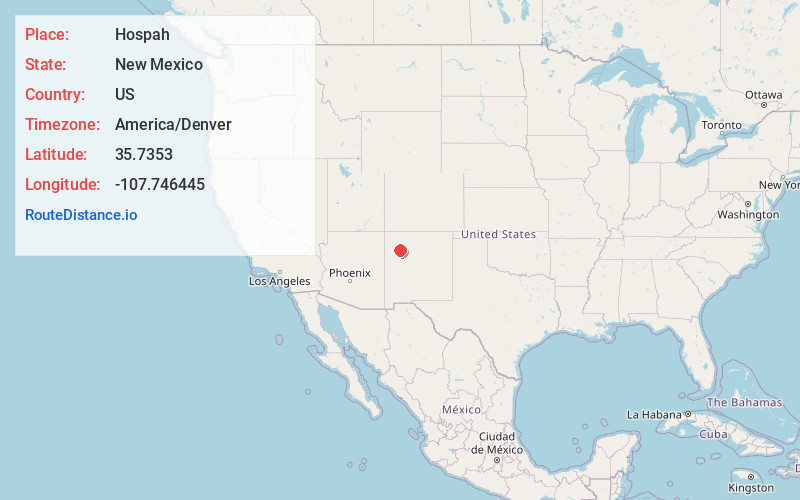
Full AddressHospah, NM 87013
-
Coordinates35.7352998, -107.7464453
-
LocationNew Mexico , US
-
TimezoneAmerica/Denver
-
Current Local Time1:18:00 AM America/DenverTuesday, June 10, 2025
-
Page Views0
Nearby Places
Found 10 places within 50 miles

Sand Springs
3.7 mi
6.0 km
Sand Springs, New Mexico 87013
Get directions

Whitehorse
5.2 mi
8.4 km
Whitehorse, NM 87313
Get directions
Piedra De La Aguila
10.4 mi
16.7 km
Piedra De La Aguila, NM 87013
Get directions

Seven Lakes
11.1 mi
17.9 km
Seven Lakes, NM 87313
Get directions

Pueblo Pintado
16.4 mi
26.4 km
Pueblo Pintado, NM
Get directions

Borrego Pass
18.3 mi
29.5 km
Borrego Pass, NM
Get directions
El Dado
19.9 mi
32.0 km
El Dado, NM
Get directions

Ambrosia Lake
22.3 mi
35.9 km
Ambrosia Lake, NM 87013
Get directions

Crownpoint
23.1 mi
37.2 km
Crownpoint, NM 87313
Get directions
Smith Lake
26.2 mi
42.2 km
Smith Lake, NM 87365
Get directions
Location Links
Local Weather
Weather Information
Coming soon!
Location Map
Static map view of Hospah, New Mexico
Browse Places by Distance
Places within specific distances from Hospah
Short Distances
Long Distances
Click any distance to see all places within that range from Hospah. Distances shown in miles (1 mile ≈ 1.61 kilometers).