Distance to Ambrosia Lake, New Mexico

Calculating Your Route
Just a moment while we process your request...
Location Information
-
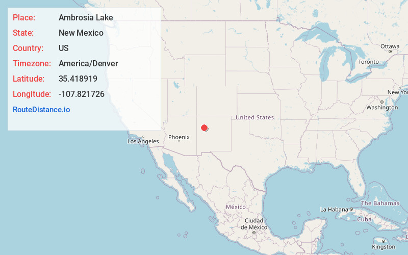
Full AddressAmbrosia Lake, NM 87013
-
Coordinates35.418919, -107.821726
-
LocationAmbrosia Lake , New Mexico , US
-
TimezoneAmerica/Denver
-
Current Local Time6:37:40 PM America/DenverTuesday, June 17, 2025
-
Page Views0
About Ambrosia Lake
Ambrosia Lake is a uranium mining district in McKinley and Cibola counties in New Mexico north of Grants that was heavily mined for uranium starting in the 1950s. It is in an anticlinal dome.

Nearby Places
Found 10 places within 50 miles

San Mateo
11.7 mi
18.8 km
San Mateo, NM 87020
Get directions

Piedra De La Aguila
12.2 mi
19.6 km
Piedra De La Aguila, NM 87013
Get directions

Prewitt
13.1 mi
21.1 km
Prewitt, NM
Get directions

Bluewater
14.4 mi
23.2 km
Bluewater, NM
Get directions

Borrego Pass
14.8 mi
23.8 km
Borrego Pass, NM
Get directions

Mt Taylor
17.3 mi
27.8 km
Mt Taylor, New Mexico 87020
Get directions
South Chaves
18.7 mi
30.1 km
South Chaves, NM 87323
Get directions
Smith Lake
19.3 mi
31.1 km
Smith Lake, NM 87365
Get directions
Sand Springs
19.5 mi
31.4 km
Sand Springs, New Mexico 87013
Get directions
Las Tusas
19.9 mi
32.0 km
Las Tusas, NM
Get directions
Location Links
Local Weather
Weather Information
Coming soon!
Location Map
Static map view of Ambrosia Lake, New Mexico
Browse Places by Distance
Places within specific distances from Ambrosia Lake
Short Distances
Long Distances
Click any distance to see all places within that range from Ambrosia Lake. Distances shown in miles (1 mile ≈ 1.61 kilometers).