Distance to San Mateo, New Mexico

Calculating Your Route
Just a moment while we process your request...
Location Information
-
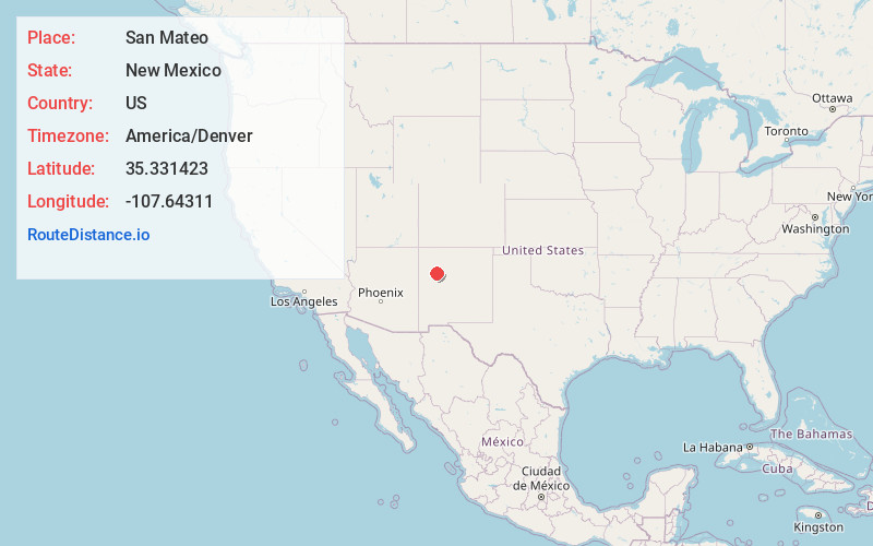
Full AddressSan Mateo, NM 87020
-
Coordinates35.3314225, -107.6431104
-
LocationSan Mateo , New Mexico , US
-
TimezoneAmerica/Denver
-
Current Local Time10:08:05 PM America/DenverMonday, June 2, 2025
-
Page Views0
About San Mateo
San Mateo is a census-designated place in Cibola County, New Mexico, United States. The population was 161 at the 2010 census.
The community has a Catholic church, a Baptist church, a Morada, a cemetery, a Volunteer Fire Department and an old abandoned elementary school.


Nearby Places
Found 10 places within 50 miles

Mt Taylor
6.7 mi
10.8 km
Mt Taylor, New Mexico 87020
Get directions

Seboyeta
16.9 mi
27.2 km
Seboyeta, NM 87040
Get directions

Encinal
17.9 mi
28.8 km
Encinal, NM
Get directions

Acomita Lake
18.1 mi
29.1 km
Acomita Lake, NM
Get directions

McCartys Village
18.6 mi
29.9 km
McCartys Village, NM
Get directions

North Acomita Village
19.0 mi
30.6 km
North Acomita Village, NM 87007
Get directions
South Acomita Village
19.4 mi
31.2 km
South Acomita Village, NM 87007
Get directions
Anzac
19.5 mi
31.4 km
Anzac, NM 87020
Get directions

Bluewater
19.7 mi
31.7 km
Bluewater, NM
Get directions
Paguate
20.0 mi
32.2 km
Paguate, NM 87040
Get directions
Location Links
Local Weather
Weather Information
Coming soon!
Location Map
Static map view of San Mateo, New Mexico
Browse Places by Distance
Places within specific distances from San Mateo
Short Distances
Long Distances
Click any distance to see all places within that range from San Mateo. Distances shown in miles (1 mile ≈ 1.61 kilometers).