Distance to Mt Taylor, New Mexico

Calculating Your Route
Just a moment while we process your request...
Location Information
-
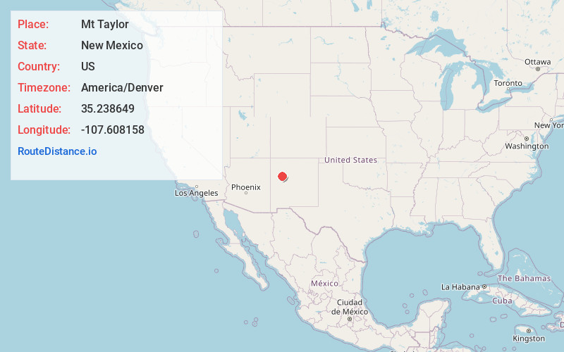
Full AddressMt Taylor, New Mexico 87020
-
Coordinates35.2386491, -107.6081575
-
LocationNew Mexico , US
-
TimezoneAmerica/Denver
-
Current Local Time10:37:41 AM America/DenverFriday, June 20, 2025
-
Page Views0
About Mt Taylor
Dormant volcano & Native American pilgrimage site with paths to the panoramic La Mosca Lookout.


Nearby Places
Found 10 places within 50 miles

Acomita Lake
11.6 mi
18.7 km
Acomita Lake, NM
Get directions

Encinal
11.7 mi
18.8 km
Encinal, NM
Get directions

North Acomita Village
12.3 mi
19.8 km
North Acomita Village, NM 87007
Get directions

Seboyeta
12.6 mi
20.3 km
Seboyeta, NM 87040
Get directions

McCartys Village
12.6 mi
20.3 km
McCartys Village, NM
Get directions
Skyline-Ganipa
13.7 mi
22.0 km
Skyline-Ganipa, NM
Get directions

Seama
14.5 mi
23.3 km
Seama, NM 87007
Get directions
Paguate
14.7 mi
23.7 km
Paguate, NM 87040
Get directions
San Rafael
17.8 mi
28.6 km
San Rafael, NM
Get directions

Bluewater
21.0 mi
33.8 km
Bluewater, NM
Get directions
Location Links
Local Weather
Weather Information
Coming soon!
Location Map
Static map view of Mt Taylor, New Mexico
Browse Places by Distance
Places within specific distances from Mt Taylor
Short Distances
Long Distances
Click any distance to see all places within that range from Mt Taylor. Distances shown in miles (1 mile ≈ 1.61 kilometers).