Distance to Seama, New Mexico

Calculating Your Route
Just a moment while we process your request...
Location Information
-
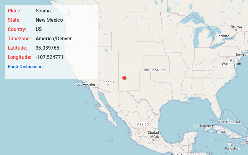
Full AddressSeama, NM 87007
-
Coordinates35.039765, -107.5247714
-
LocationSeama , New Mexico , US
-
TimezoneAmerica/Denver
-
Current Local Time9:04:58 PM America/DenverThursday, June 19, 2025
-
Page Views0
About Seama
Seama is a census-designated place in Cibola County, New Mexico, United States. The population was 465 at the 2010 census.


Nearby Places
Found 10 places within 50 miles

Skyline-Ganipa
5.1 mi
8.2 km
Skyline-Ganipa, NM
Get directions
Acomita Lake
5.5 mi
8.9 km
Acomita Lake, NM
Get directions

McCartys Village
8.3 mi
13.4 km
McCartys Village, NM
Get directions
Paguate
10.7 mi
17.2 km
Paguate, NM 87040
Get directions

Seboyeta
13.5 mi
21.7 km
Seboyeta, NM 87040
Get directions
San Rafael
20.9 mi
33.6 km
San Rafael, NM
Get directions

Prewitt
36.8 mi
59.2 km
Prewitt, NM
Get directions

Thoreau
46.7 mi
75.2 km
Thoreau, NM
Get directions

Los Lunas
47.7 mi
76.8 km
Los Lunas, NM 87031
Get directions

South Valley
48.0 mi
77.2 km
South Valley, NM
Get directions
Location Links
Local Weather
Weather Information
Coming soon!
Location Map
Static map view of Seama, New Mexico
Browse Places by Distance
Places within specific distances from Seama
Short Distances
Long Distances
Click any distance to see all places within that range from Seama. Distances shown in miles (1 mile ≈ 1.61 kilometers).