Distance to Encinal, New Mexico

Calculating Your Route
Just a moment while we process your request...
Location Information
-
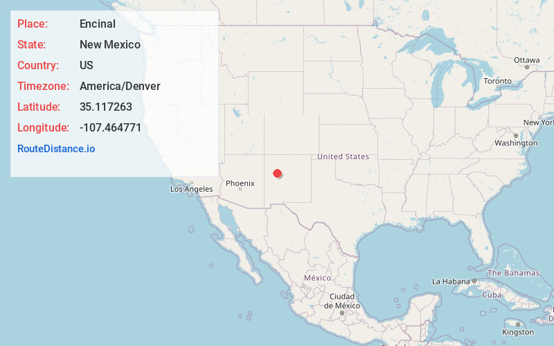
Full AddressEncinal, NM
-
Coordinates35.1172631, -107.4647708
-
LocationEncinal , New Mexico , US
-
TimezoneAmerica/Denver
-
Current Local Time7:56:27 AM America/DenverThursday, May 29, 2025
-
Page Views0
About Encinal
Encinal is a census-designated place in Cibola County, New Mexico, United States. It is the smallest of the six villages of the Laguna Pueblo and sits at the base of Mount Taylor. The population was 210 at the 2010 census.


Nearby Places
Found 10 places within 50 miles

Paguate
5.1 mi
8.2 km
Paguate, NM 87040
Get directions

Seama
6.3 mi
10.1 km
Seama, NM 87007
Get directions

North Acomita Village
6.8 mi
10.9 km
North Acomita Village, NM 87007
Get directions

Seboyeta
7.2 mi
11.6 km
Seboyeta, NM 87040
Get directions
Acomita Lake
9.0 mi
14.5 km
Acomita Lake, NM
Get directions
Skyline-Ganipa
10.0 mi
16.1 km
Skyline-Ganipa, NM
Get directions

McCartys Village
12.2 mi
19.6 km
McCartys Village, NM
Get directions
San Rafael
23.6 mi
38.0 km
San Rafael, NM
Get directions

Bluewater
30.6 mi
49.2 km
Bluewater, NM
Get directions

Prewitt
36.8 mi
59.2 km
Prewitt, NM
Get directions
Location Links
Local Weather
Weather Information
Coming soon!
Location Map
Static map view of Encinal, New Mexico
Browse Places by Distance
Places within specific distances from Encinal
Short Distances
Long Distances
Click any distance to see all places within that range from Encinal. Distances shown in miles (1 mile ≈ 1.61 kilometers).