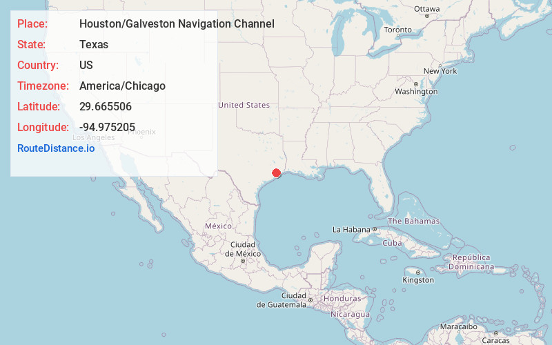
Distance to Houston/Galveston Navigation Channel, Texas

Calculating Your Route
Just a moment while we process your request...
Location Information
-
Full AddressHouston/Galveston Navigation Channel, Texas
-
Coordinates29.6655056, -94.9752048
-
LocationTexas , US
-
TimezoneAmerica/Chicago
-
Current Local Time3:26:57 PM America/ChicagoTuesday, July 1, 2025
-
Page Views0
Nearby Places
Found 10 places within 50 miles

Morgan's Point
1.1 mi
1.8 km
Morgan's Point, TX
Get directions

La Porte
2.7 mi
4.3 km
La Porte, TX 77571
Get directions

Shoreacres
4.1 mi
6.6 km
Shoreacres, TX
Get directions

Baytown
4.8 mi
7.7 km
Baytown, TX
Get directions

El Lago
7.6 mi
12.2 km
El Lago, TX 77586
Get directions

Seabrook
7.6 mi
12.2 km
Seabrook, TX
Get directions

Taylor Lake Village
7.7 mi
12.4 km
Taylor Lake Village, TX 77586
Get directions

Coady
8.6 mi
13.8 km
Coady, TX 77521
Get directions

Clear Lake Shores
8.8 mi
14.2 km
Clear Lake Shores, TX 77565
Get directions

Kemah
8.9 mi
14.3 km
Kemah, TX
Get directions
Location Links
Local Weather
Weather Information
Coming soon!
Location Map
Static map view of Houston/Galveston Navigation Channel, Texas
Browse Places by Distance
Places within specific distances from Houston/Galveston Navigation Channel
Short Distances
Long Distances
Click any distance to see all places within that range from Houston/Galveston Navigation Channel. Distances shown in miles (1 mile ≈ 1.61 kilometers).