Distance to Hoven, South Dakota

Calculating Your Route
Just a moment while we process your request...
Location Information
-
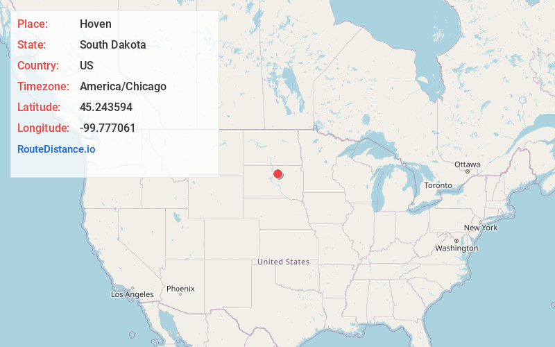
Full AddressHoven, SD 57450
-
Coordinates45.2435941, -99.7770613
-
LocationHoven , South Dakota , US
-
TimezoneAmerica/Chicago
-
Current Local Time4:14:20 PM America/ChicagoFriday, June 20, 2025
-
Page Views2
About Hoven
Hoven is a town in Potter County, South Dakota, United States. The population was 379 at the 2020 census.
Hoven was laid out in 1883 and named after either Matt or Peter Hoven, who were the first settlers.


Nearby Places
Found 10 places within 50 miles

Bowdle
15.7 mi
25.3 km
Bowdle, SD 57428
Get directions

Gettysburg
18.2 mi
29.3 km
Gettysburg, SD 57442
Get directions

Selby
22.0 mi
35.4 km
Selby, SD 57472
Get directions

Roscoe
25.6 mi
41.2 km
Roscoe, SD 57471
Get directions
Faulkton
34.9 mi
56.2 km
Faulkton, SD 57438
Get directions

Eureka
37.1 mi
59.7 km
Eureka, SD 57437
Get directions

Mobridge
37.5 mi
60.4 km
Mobridge, SD 57601
Get directions

Ipswich
38.9 mi
62.6 km
Ipswich, SD 57451
Get directions

Onida
39.6 mi
63.7 km
Onida, SD 57564
Get directions

Herreid
43.2 mi
69.5 km
Herreid, SD 57632
Get directions
Location Links
Local Weather
Weather Information
Coming soon!
Location Map
Static map view of Hoven, South Dakota
Browse Places by Distance
Places within specific distances from Hoven
Short Distances
Long Distances
Click any distance to see all places within that range from Hoven. Distances shown in miles (1 mile ≈ 1.61 kilometers).