Distance to Howard, Colorado

Calculating Your Route
Just a moment while we process your request...
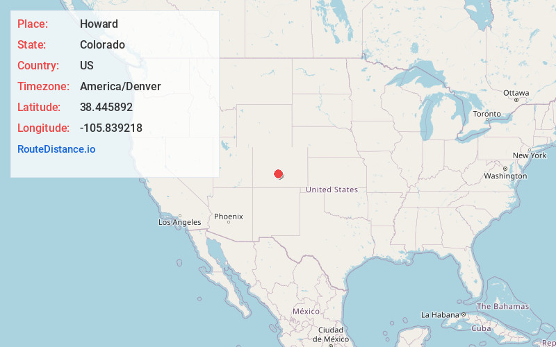
Location Information
-
Full AddressHoward, CO
-
Coordinates38.4458922, -105.8392176
-
LocationHoward , Colorado , US
-
TimezoneAmerica/Denver
-
Current Local Time11:14:38 AM America/DenverWednesday, June 18, 2025
-
Page Views0
About Howard
Howard is a census-designated place and post office in and governed by Fremont County, Colorado, United States. The CDP is a part of the Cañon City, CO Micropolitan Statistical Area. The Howard post office has the ZIP Code 81233. At the United States Census 2020, the population of the Howard CDP was 852.


Nearby Places
Found 6 places within 50 miles

Salida
10.6 mi
17.1 km
Salida, CO 81201
Get directions

Buena Vista
31.6 mi
50.9 km
Buena Vista, CO 81211
Get directions

Park Center Lateral
34.1 mi
54.9 km
Park Center Lateral, Colorado 81212
Get directions

Florence
39.2 mi
63.1 km
Florence, CO
Get directions

Cripple Creek
41.3 mi
66.5 km
Cripple Creek, CO
Get directions

Penrose
44.2 mi
71.1 km
Penrose, CO 81240
Get directions
Location Links
Local Weather
Weather Information
Coming soon!
Location Map
Static map view of Howard, Colorado
Browse Places by Distance
Places within specific distances from Howard
Short Distances
Long Distances
Click any distance to see all places within that range from Howard. Distances shown in miles (1 mile ≈ 1.61 kilometers).