Distance to Howell, Arkansas

Calculating Your Route
Just a moment while we process your request...
Location Information
-
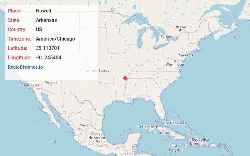
Full AddressHowell, AR 72006
-
Coordinates35.1137007, -91.2454037
-
LocationHowell , Arkansas , US
-
TimezoneAmerica/Chicago
-
Current Local Time11:27:40 AM America/ChicagoSaturday, June 7, 2025
-
Page Views0
Nearby Places
Found 10 places within 50 miles

Casey
5.4 mi
8.7 km
Casey, AR 72036
Get directions
Colona
5.4 mi
8.7 km
Colona, AR 72101
Get directions
Gregory
6.2 mi
10.0 km
Gregory, AR 72006
Get directions
Daggett
6.9 mi
11.1 km
Daggett, AR 72040
Get directions

Cotton Plant
7.5 mi
12.1 km
Cotton Plant, AR 72036
Get directions
Grays
7.8 mi
12.6 km
Grays, AR 72101
Get directions
Hunter
7.9 mi
12.7 km
Hunter, AR
Get directions
Deview
8.2 mi
13.2 km
Deview, AR 72101
Get directions
Hillemann
8.9 mi
14.3 km
Hillemann, AR 72101
Get directions
McClelland
9.1 mi
14.6 km
McClelland, AR 72006
Get directions
Location Links
Local Weather
Weather Information
Coming soon!
Location Map
Static map view of Howell, Arkansas
Browse Places by Distance
Places within specific distances from Howell
Short Distances
Long Distances
Click any distance to see all places within that range from Howell. Distances shown in miles (1 mile ≈ 1.61 kilometers).