Distance to Gregory, Arkansas

Calculating Your Route
Just a moment while we process your request...
Location Information
-
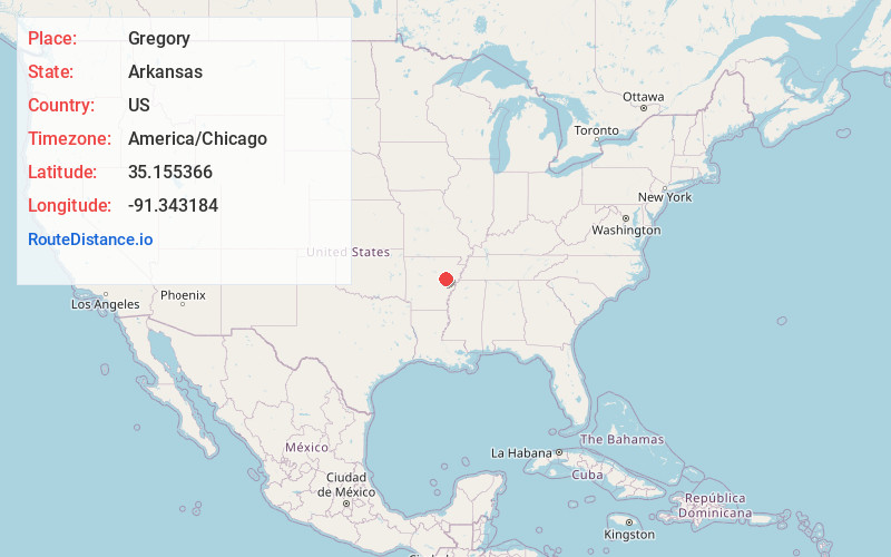
Full AddressGregory, AR 72006
-
Coordinates35.1553662, -91.3431835
-
LocationGregory , Arkansas , US
-
TimezoneAmerica/Chicago
-
Current Local Time5:22:08 AM America/ChicagoMonday, June 23, 2025
-
Page Views0
About Gregory
Gregory is an unincorporated community and census-designated place in Woodruff County, Arkansas, United States. It was first listed as a CDP in the 2020 census with a population of 43. Gregory is located along Arkansas Highway 33, 9 miles south of Augusta. Gregory has a post office with ZIP code 72059.
Nearby Places
Found 10 places within 50 miles

Georgetown
6.6 mi
10.6 km
Georgetown, AR 72143
Get directions

Augusta
8.8 mi
14.2 km
Augusta, AR 72006
Get directions

Patterson
9.3 mi
15.0 km
Patterson, AR
Get directions

McCrory
10.7 mi
17.2 km
McCrory, AR 72101
Get directions

Cotton Plant
11.6 mi
18.7 km
Cotton Plant, AR 72036
Get directions
Hunter
14.2 mi
22.9 km
Hunter, AR
Get directions

Des Arc
15.1 mi
24.3 km
Des Arc, AR 72040
Get directions
West Point
15.8 mi
25.4 km
West Point, AR
Get directions

Bald Knob
16.6 mi
26.7 km
Bald Knob, AR 72010
Get directions
Fargo
16.8 mi
27.0 km
Fargo, AR 72021
Get directions
Location Links
Local Weather
Weather Information
Coming soon!
Location Map
Static map view of Gregory, Arkansas
Browse Places by Distance
Places within specific distances from Gregory
Short Distances
Long Distances
Click any distance to see all places within that range from Gregory. Distances shown in miles (1 mile ≈ 1.61 kilometers).