Distance to Patterson, Arkansas

Calculating Your Route
Just a moment while we process your request...
Location Information
-
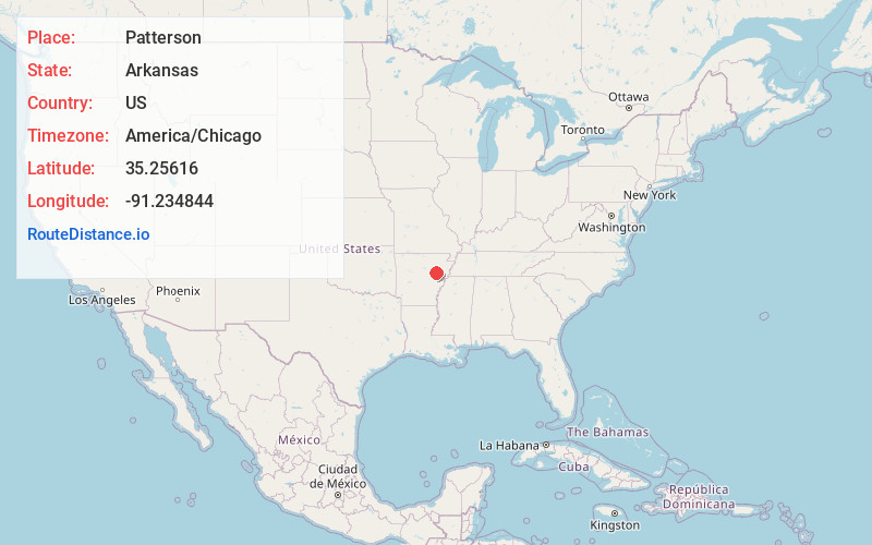
Full AddressPatterson, AR
-
Coordinates35.2561599, -91.2348443
-
LocationPatterson , Arkansas , US
-
TimezoneAmerica/Chicago
-
Current Local Time4:22:43 AM America/ChicagoThursday, May 29, 2025
-
Page Views0
About Patterson
Patterson is a city in Woodruff County, Arkansas, United States. The population was 310 as of the 2020 Census.
The townsite was originally known as Martin’s Junction, because the junction of the St. Louis, Iron Mountain and Southern Railway with the Batesville and Brinkley Railroad occurred at this spot.
Nearby Places
Found 10 places within 50 miles

McCrory
2.0 mi
3.2 km
McCrory, AR 72101
Get directions

Augusta
7.4 mi
11.9 km
Augusta, AR 72006
Get directions

Bradford
17.0 mi
27.4 km
Bradford, AR 72020
Get directions

Cotton Plant
17.4 mi
28.0 km
Cotton Plant, AR 72036
Get directions

Bald Knob
19.3 mi
31.1 km
Bald Knob, AR 72010
Get directions

Judsonia
22.7 mi
36.5 km
Judsonia, AR 72081
Get directions

Newport
24.2 mi
38.9 km
Newport, AR 72112
Get directions

Des Arc
24.3 mi
39.1 km
Des Arc, AR 72040
Get directions

Kensett
24.5 mi
39.4 km
Kensett, AR
Get directions

Wheatley
24.8 mi
39.9 km
Wheatley, AR 72392
Get directions
Location Links
Local Weather
Weather Information
Coming soon!
Location Map
Static map view of Patterson, Arkansas
Browse Places by Distance
Places within specific distances from Patterson
Short Distances
Long Distances
Click any distance to see all places within that range from Patterson. Distances shown in miles (1 mile ≈ 1.61 kilometers).