Distance to Fargo, Arkansas

Calculating Your Route
Just a moment while we process your request...
Location Information
-
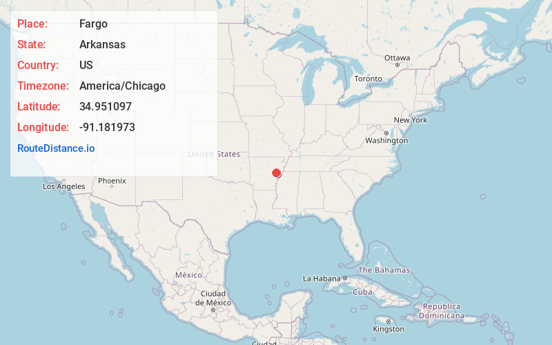
Full AddressFargo, AR 72021
-
Coordinates34.9510968, -91.181973
-
LocationFargo , Arkansas , US
-
TimezoneAmerica/Chicago
-
Current Local Time12:16:35 PM America/ChicagoThursday, June 19, 2025
-
Page Views0
About Fargo
Fargo is a town in Monroe County, Arkansas, United States. As of the 2020 United States census it had a population of 57, down from 98 in 2010.
Nearby Places
Found 10 places within 50 miles

Brinkley
4.5 mi
7.2 km
Brinkley, AR 72021
Get directions

Wheatley
5.0 mi
8.0 km
Wheatley, AR 72392
Get directions

Cotton Plant
5.4 mi
8.7 km
Cotton Plant, AR 72036
Get directions

Hunter
7.8 mi
12.6 km
Hunter, AR
Get directions
Goodwin
9.2 mi
14.8 km
Goodwin, AR
Get directions
Moro
15.2 mi
24.5 km
Moro, AR
Get directions
Palestine
15.9 mi
25.6 km
Palestine, AR 72372
Get directions
Biscoe
16.0 mi
25.7 km
Biscoe, AR
Get directions

Des Arc
18.0 mi
29.0 km
Des Arc, AR 72040
Get directions

Clarendon
19.3 mi
31.1 km
Clarendon, AR
Get directions
Location Links
Local Weather
Weather Information
Coming soon!
Location Map
Static map view of Fargo, Arkansas
Browse Places by Distance
Places within specific distances from Fargo
Short Distances
Long Distances
Click any distance to see all places within that range from Fargo. Distances shown in miles (1 mile ≈ 1.61 kilometers).