Distance to Moro, Arkansas

Calculating Your Route
Just a moment while we process your request...
Location Information
-
Full AddressMoro, AR
-
Coordinates34.7965745, -90.9900186
-
LocationMoro , Arkansas , US
-
TimezoneAmerica/Chicago
-
Current Local Time10:16:33 AM America/ChicagoTuesday, June 24, 2025
-
Page Views0
About Moro
Moro is a town in Lee County, Arkansas, United States. The population was 216 at the 2010 census.
Nearby Places
Found 10 places within 50 miles

Wheatley
10.4 mi
16.7 km
Wheatley, AR 72392
Get directions

Marianna
12.5 mi
20.1 km
Marianna, AR 72360
Get directions

Brinkley
13.2 mi
21.2 km
Brinkley, AR 72021
Get directions

Palestine
13.2 mi
21.2 km
Palestine, AR 72372
Get directions
Marvell
17.1 mi
27.5 km
Marvell, AR 72366
Get directions

Holly Grove
18.3 mi
29.5 km
Holly Grove, AR 72069
Get directions

Forrest City
18.7 mi
30.1 km
Forrest City, AR
Get directions

Clarendon
19.5 mi
31.4 km
Clarendon, AR
Get directions

Cotton Plant
20.6 mi
33.2 km
Cotton Plant, AR 72036
Get directions

Madison
21.3 mi
34.3 km
Madison, AR
Get directions
Location Links
Local Weather
Weather Information
Coming soon!
Location Map
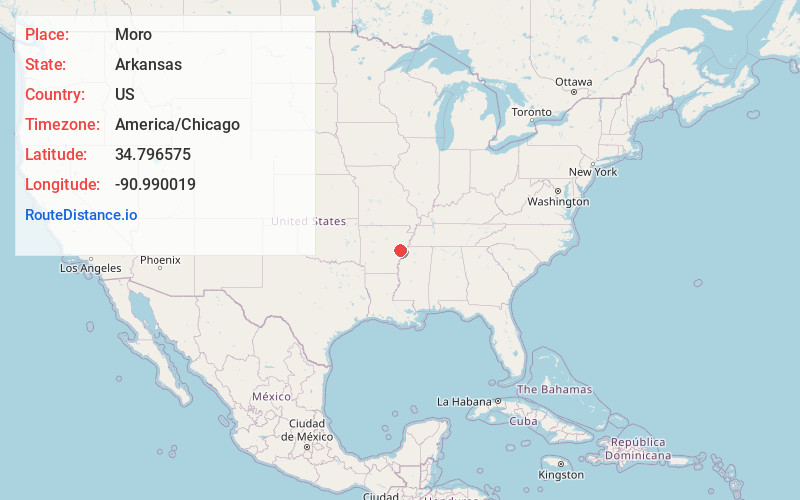
Static map view of Moro, Arkansas
Browse Places by Distance
Places within specific distances from Moro
Short Distances
Long Distances
Click any distance to see all places within that range from Moro. Distances shown in miles (1 mile ≈ 1.61 kilometers).