Distance to Howell, Utah

Calculating Your Route
Just a moment while we process your request...
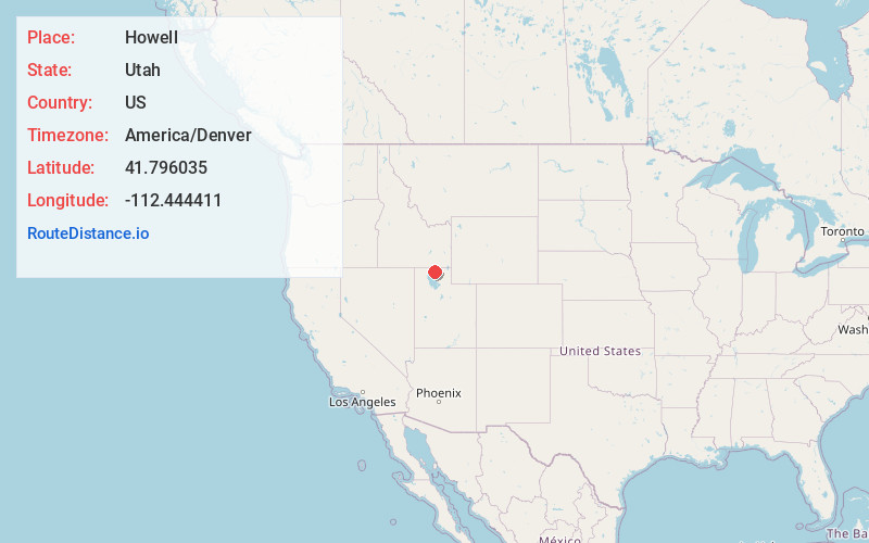
Location Information
-
Full AddressHowell, UT 84316
-
Coordinates41.7960354, -112.4444112
-
LocationHowell , Utah , US
-
TimezoneAmerica/Denver
-
Current Local Time11:35:04 PM America/DenverSunday, June 22, 2025
-
Page Views0
About Howell
Howell is a town located in the Blue Creek Valley in northeast Box Elder County, Utah, United States. The population was 245 at the 2010 census.


Nearby Places
Found 10 places within 50 miles

Thatcher
10.5 mi
16.9 km
Thatcher, UT 84337
Get directions

Garland
15.1 mi
24.3 km
Garland, UT
Get directions

Riverside
15.2 mi
24.5 km
Riverside, UT
Get directions

Tremonton
15.5 mi
24.9 km
Tremonton, UT 84337
Get directions

Plymouth
16.4 mi
26.4 km
Plymouth, UT
Get directions

Fielding
17.0 mi
27.4 km
Fielding, UT
Get directions

Elwood
17.9 mi
28.8 km
Elwood, UT
Get directions

Honeyville
21.7 mi
34.9 km
Honeyville, UT
Get directions

Clarkston
22.0 mi
35.4 km
Clarkston, UT 84305
Get directions
Newton
23.8 mi
38.3 km
Newton, UT
Get directions
Location Links
Local Weather
Weather Information
Coming soon!
Location Map
Static map view of Howell, Utah
Browse Places by Distance
Places within specific distances from Howell
Short Distances
Long Distances
Click any distance to see all places within that range from Howell. Distances shown in miles (1 mile ≈ 1.61 kilometers).