Distance to Thatcher, Utah

Calculating Your Route
Just a moment while we process your request...
Location Information
-
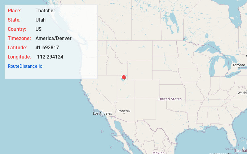
Full AddressThatcher, UT 84337
-
Coordinates41.6938166, -112.2941236
-
LocationThatcher , Utah , US
-
TimezoneAmerica/Denver
-
Current Local Time4:31:43 PM America/DenverThursday, June 19, 2025
-
Page Views0
About Thatcher
Thatcher is a census-designated place in Box Elder County, Utah, United States. It is a small farming community, located 3 miles southwest of Bothwell and 7 miles west of Tremonton. The population was 789 at the 2010 census.


Nearby Places
Found 10 places within 50 miles

Tremonton
6.8 mi
10.9 km
Tremonton, UT 84337
Get directions

Garland
7.6 mi
12.2 km
Garland, UT
Get directions

Elwood
8.1 mi
13.0 km
Elwood, UT
Get directions

Riverside
10.1 mi
16.3 km
Riverside, UT
Get directions

Honeyville
11.7 mi
18.8 km
Honeyville, UT
Get directions

Mendon
16.4 mi
26.4 km
Mendon, UT
Get directions

Wellsville
19.0 mi
30.6 km
Wellsville, UT 84339
Get directions

Brigham City
19.2 mi
30.9 km
Brigham City, UT
Get directions

Benson
19.2 mi
30.9 km
Benson, UT
Get directions

Perry
20.9 mi
33.6 km
Perry, UT 84302
Get directions
Location Links
Local Weather
Weather Information
Coming soon!
Location Map
Static map view of Thatcher, Utah
Browse Places by Distance
Places within specific distances from Thatcher
Short Distances
Long Distances
Click any distance to see all places within that range from Thatcher. Distances shown in miles (1 mile ≈ 1.61 kilometers).