Distance to Howes Landing, New York

Calculating Your Route
Just a moment while we process your request...
Location Information
-
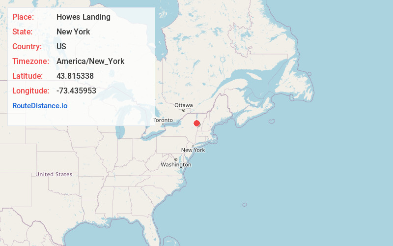
Full AddressHowes Landing, NY 12883
-
Coordinates43.8153379, -73.4359525
-
LocationHowes Landing , New York , US
-
TimezoneAmerica/New_York
-
Current Local Time5:57:45 PM America/New_YorkThursday, June 19, 2025
-
Page Views0
Nearby Places
Found 10 places within 50 miles

Ticonderoga
2.4 mi
3.9 km
Ticonderoga, NY 12883
Get directions

Glenburnie
3.7 mi
6.0 km
Glenburnie, Putnam, NY 12861
Get directions
Indian Kettles
3.9 mi
6.3 km
Indian Kettles, Hague, NY 12836
Get directions
Street Road
4.6 mi
7.4 km
Street Road, NY 12883
Get directions

Chilson
6.3 mi
10.1 km
Chilson, NY 12883
Get directions
Putnam Station
6.4 mi
10.3 km
Putnam Station, NY 12861
Get directions

Orwell
6.9 mi
11.1 km
Orwell, VT
Get directions
Stacy Crossroads
7.6 mi
12.2 km
Stacy Crossroads, Benson, VT 05760
Get directions
Graphite
7.7 mi
12.4 km
Graphite, Hague, NY 12836
Get directions

Shoreham
8.1 mi
13.0 km
Shoreham, VT
Get directions
Location Links
Local Weather
Weather Information
Coming soon!
Location Map
Static map view of Howes Landing, New York
Browse Places by Distance
Places within specific distances from Howes Landing
Short Distances
Long Distances
Click any distance to see all places within that range from Howes Landing. Distances shown in miles (1 mile ≈ 1.61 kilometers).