Distance to Orwell, Vermont

Calculating Your Route
Just a moment while we process your request...
Location Information
-
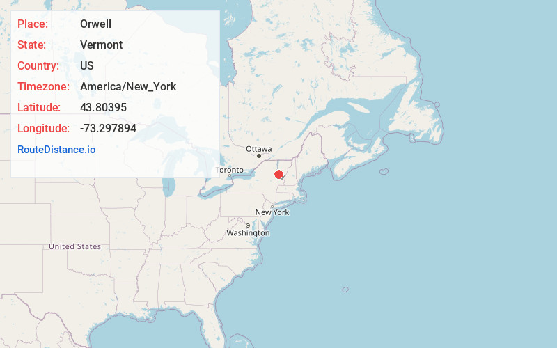
Full AddressOrwell, VT
-
Coordinates43.8039502, -73.2978936
-
LocationOrwell , Vermont , US
-
TimezoneAmerica/New_York
-
Current Local Time7:05:49 AM America/New_YorkSaturday, June 21, 2025
-
Page Views0
About Orwell
Orwell is a town in Addison County, Vermont, United States. The population was 1,239 at the 2020 census. Mount Independence was the largest fortification constructed by the American colonial forces. The 300-acre site is now one of Vermont's premier state-operated historic sites.


Nearby Places
Found 10 places within 50 miles

Shoreham
6.3 mi
10.1 km
Shoreham, VT
Get directions

Ticonderoga
7.0 mi
11.3 km
Ticonderoga, NY 12883
Get directions

Leicester
10.4 mi
16.7 km
Leicester, VT
Get directions

Cornwall
11.7 mi
18.8 km
Cornwall, VT
Get directions

Salisbury
11.7 mi
18.8 km
Salisbury, VT 05769
Get directions

Crown Point
12.3 mi
19.8 km
Crown Point, NY 12928
Get directions

Bridport
12.5 mi
20.1 km
Bridport, VT
Get directions

Castleton
14.2 mi
22.9 km
Castleton, VT
Get directions

Fair Haven
14.5 mi
23.3 km
Fair Haven, VT 05743
Get directions

Pittsford
15.0 mi
24.1 km
Pittsford, VT
Get directions
Location Links
Local Weather
Weather Information
Coming soon!
Location Map
Static map view of Orwell, Vermont
Browse Places by Distance
Places within specific distances from Orwell
Short Distances
Long Distances
Click any distance to see all places within that range from Orwell. Distances shown in miles (1 mile ≈ 1.61 kilometers).