Distance to Hubbard Lake, Michigan

Calculating Your Route
Just a moment while we process your request...
Location Information
-
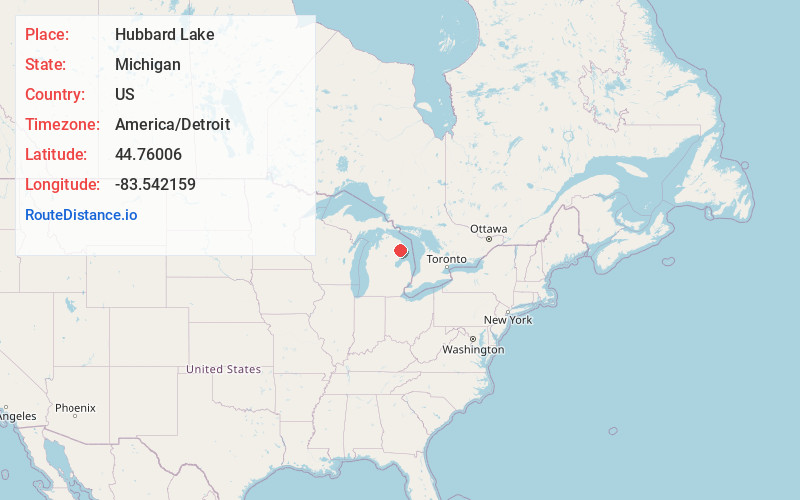
Full AddressHubbard Lake, MI
-
Coordinates44.7600599, -83.542159
-
LocationHubbard Lake , Michigan , US
-
TimezoneAmerica/Detroit
-
Current Local Time6:05:49 PM America/DetroitSaturday, June 21, 2025
-
Page Views0
About Hubbard Lake
Hubbard Lake is an unincorporated community and census-designated place in Alcona County in the U.S. state of Michigan. The population was 857 at the 2020 census. Hubbard Lake occupies portions of Alcona, Caledonia, and Hawes township.


Nearby Places
Found 9 places within 50 miles

Alpena
21.5 mi
34.6 km
Alpena, MI 49707
Get directions

Au Sable
26.4 mi
42.5 km
Au Sable, MI 48750
Get directions

Mio
29.8 mi
48.0 km
Mio, MI 48647
Get directions

East Tawas
33.3 mi
53.6 km
East Tawas, MI 48730
Get directions

Tawas City
33.9 mi
54.6 km
Tawas City, MI 48763
Get directions

Skidway Lake
46.7 mi
75.2 km
Skidway Lake, MI
Get directions

Rogers City
47.6 mi
76.6 km
Rogers City, MI 49779
Get directions

West Branch
47.9 mi
77.1 km
West Branch, MI 48661
Get directions

Au Gres
49.7 mi
80.0 km
Au Gres, MI 48703
Get directions
Location Links
Local Weather
Weather Information
Coming soon!
Location Map
Static map view of Hubbard Lake, Michigan
Browse Places by Distance
Places within specific distances from Hubbard Lake
Short Distances
Long Distances
Click any distance to see all places within that range from Hubbard Lake. Distances shown in miles (1 mile ≈ 1.61 kilometers).