Distance to Hugley, Alabama

Calculating Your Route
Just a moment while we process your request...
Location Information
-
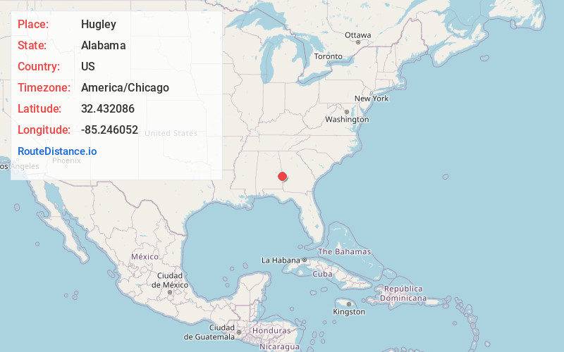
Full AddressHugley, AL 36804
-
Coordinates32.4320861, -85.2460519
-
LocationHugley , Alabama , US
-
TimezoneAmerica/Chicago
-
Current Local Time8:29:42 PM America/ChicagoWednesday, June 18, 2025
-
Page Views0
Nearby Places
Found 10 places within 50 miles

Uhland
2.4 mi
3.9 km
Uhland, AL 36804
Get directions

Crawford
3.7 mi
6.0 km
Crawford, AL 36870
Get directions
Prince Crossroads
6.3 mi
10.1 km
Prince Crossroads, AL 36874
Get directions
Moffits Mill
6.5 mi
10.5 km
Moffits Mill, AL 36874
Get directions
Griffen Mill
6.6 mi
10.6 km
Griffen Mill, AL 36874
Get directions
Sandfort
6.6 mi
10.6 km
Sandfort, AL 36875
Get directions
Meadows Crossroads
6.8 mi
10.9 km
Meadows Crossroads, AL 36870
Get directions
Marvyn
6.9 mi
11.1 km
Marvyn, AL 36804
Get directions
Whatley Cross Rd
8.8 mi
14.2 km
Whatley Cross Rd, AL 36804
Get directions
Uchee
8.9 mi
14.3 km
Uchee, AL 36860
Get directions
Location Links
Local Weather
Weather Information
Coming soon!
Location Map
Static map view of Hugley, Alabama
Browse Places by Distance
Places within specific distances from Hugley
Short Distances
Long Distances
Click any distance to see all places within that range from Hugley. Distances shown in miles (1 mile ≈ 1.61 kilometers).