Distance to Hugo, Missouri

Calculating Your Route
Just a moment while we process your request...
Location Information
-
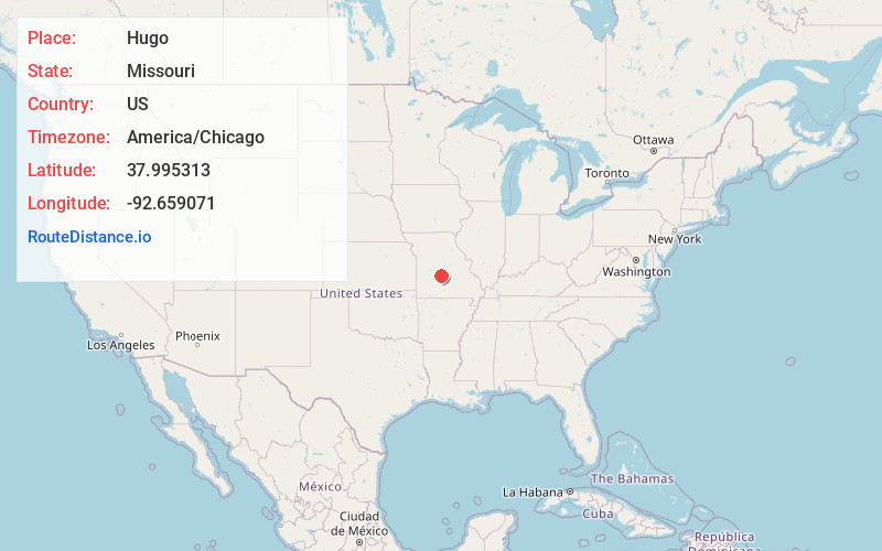
Full AddressHugo, MO 65020
-
Coordinates37.9953134, -92.6590712
-
LocationHugo , Missouri , US
-
TimezoneAmerica/Chicago
-
Current Local Time10:10:15 PM America/ChicagoWednesday, July 2, 2025
-
Page Views0
About Hugo
Hugo is an unincorporated community in southern Camden County, in the U.S. state of Missouri. The community is located approximately 3.5 miles east-southeast of Camdenton on Missouri Route V, just north of Missouri Route 7.
Nearby Places
Found 10 places within 50 miles

Montreal
4.1 mi
6.6 km
Montreal, MO 65591
Get directions

Linn Creek
4.1 mi
6.6 km
Linn Creek, MO 65052
Get directions

Camdenton
4.7 mi
7.6 km
Camdenton, MO 65020
Get directions
Hahatonka
6.2 mi
10.0 km
Hahatonka, Warren Township, MO 65020
Get directions
Friedenswald
7.8 mi
12.6 km
Friedenswald, MO 65020
Get directions
Bidwell
9.0 mi
14.5 km
Bidwell, Eldridge Township, MO 65536
Get directions

Osage Beach
10.9 mi
17.5 km
Osage Beach, MO
Get directions
White City
11.0 mi
17.7 km
White City, MO 65020
Get directions

Brumley
11.3 mi
18.2 km
Brumley, MO 65017
Get directions
Case
11.9 mi
19.2 km
Case, Eldridge Township, MO 65463
Get directions
Location Links
Local Weather
Weather Information
Coming soon!
Location Map
Static map view of Hugo, Missouri
Browse Places by Distance
Places within specific distances from Hugo
Short Distances
Long Distances
Click any distance to see all places within that range from Hugo. Distances shown in miles (1 mile ≈ 1.61 kilometers).