Distance to Hull, Georgia

Calculating Your Route
Just a moment while we process your request...
Location Information
-
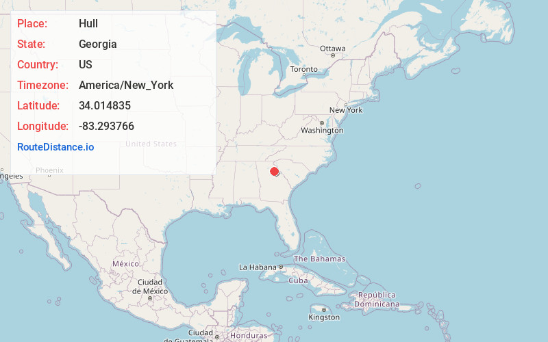
Full AddressHull, GA 30646
-
Coordinates34.0148352, -83.2937659
-
LocationHull , Georgia , US
-
TimezoneAmerica/New_York
-
Current Local Time2:13:18 PM America/New_YorkTuesday, July 1, 2025
-
Page Views0
About Hull
Hull is a city in Madison County, Georgia, United States. The population was 230 at the 2020 census, up from 198 in 2010.

Nearby Places
Found 10 places within 50 miles

Winterville
3.4 mi
5.5 km
Winterville, GA 30683
Get directions

Colbert
4.9 mi
7.9 km
Colbert, GA 30628
Get directions

Athens
6.1 mi
9.8 km
Athens, GA
Get directions

Danielsville
8.6 mi
13.8 km
Danielsville, GA 30633
Get directions

Arnoldsville
8.8 mi
14.2 km
Arnoldsville, GA
Get directions

Comer
10.2 mi
16.4 km
Comer, GA 30629
Get directions

Nicholson
10.4 mi
16.7 km
Nicholson, GA
Get directions

Ila
10.9 mi
17.5 km
Ila, GA
Get directions

Crawford
12.1 mi
19.5 km
Crawford, GA 30630
Get directions

Watkinsville
12.4 mi
20.0 km
Watkinsville, GA
Get directions
Location Links
Local Weather
Weather Information
Coming soon!
Location Map
Static map view of Hull, Georgia
Browse Places by Distance
Places within specific distances from Hull
Short Distances
Long Distances
Click any distance to see all places within that range from Hull. Distances shown in miles (1 mile ≈ 1.61 kilometers).