Distance to Humber, Mississippi

Calculating Your Route
Just a moment while we process your request...
Location Information
-
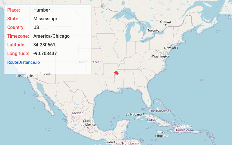
Full AddressHumber, MS 38614
-
Coordinates34.2806613, -90.7034371
-
LocationMississippi , US
-
TimezoneAmerica/Chicago
-
Current Local Time6:36:52 AM America/ChicagoSunday, June 29, 2025
-
Page Views0
About Humber
Humber is an unincorporated community in Coahoma County, Mississippi, United States.
Humber had a post office in the early 1900s, and was then located directly on the Mississippi River.
The Humber Archeological Site is located west of Humber on Island No. 63 in the Mississippi River.
Nearby Places
Found 10 places within 50 miles

Farrell
2.1 mi
3.4 km
Farrell, MS 38614
Get directions
Sessions
5.9 mi
9.5 km
Sessions, MS 38614
Get directions
Glen Aubin
6.7 mi
10.8 km
Glen Aubin, MS 38614
Get directions
Friars Point
7.0 mi
11.3 km
Friars Point, MS 38631
Get directions

Elaine
8.8 mi
14.2 km
Elaine, AR 72333
Get directions
Hoop Spur
8.8 mi
14.2 km
Hoop Spur, AR 72333
Get directions
Ragan
9.0 mi
14.5 km
Ragan, AR 72333
Get directions

Clarksdale
9.4 mi
15.1 km
Clarksdale, MS
Get directions
Countiss
10.0 mi
16.1 km
Countiss, AR 72333
Get directions
Rena Lara
10.1 mi
16.3 km
Rena Lara, MS 38614
Get directions
Location Links
Local Weather
Weather Information
Coming soon!
Location Map
Static map view of Humber, Mississippi
Browse Places by Distance
Places within specific distances from Humber
Short Distances
Long Distances
Click any distance to see all places within that range from Humber. Distances shown in miles (1 mile ≈ 1.61 kilometers).