Distance to Humboldt Township, Illinois

Calculating Your Route
Just a moment while we process your request...
Location Information
-
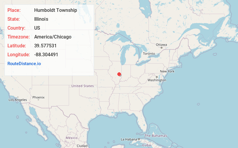
Full AddressHumboldt Township, IL
-
Coordinates39.5775308, -88.3044908
-
LocationHumboldt Township , Illinois , US
-
TimezoneAmerica/Chicago
-
Current Local Time3:17:42 AM America/ChicagoMonday, June 2, 2025
-
Page Views0
About Humboldt Township
Humboldt Township is one of twelve townships in Coles County, Illinois, United States. As of the 2020 census, its population was 1,161 and it contained 545 housing units. The township changed its name from Milton Township on May 7, 1860.


Nearby Places
Found 10 places within 50 miles

Humboldt
2.0 mi
3.2 km
Humboldt, IL 61931
Get directions
Dorans
2.8 mi
4.5 km
Dorans, Humboldt Township, IL 61938
Get directions
Cooks Mills
5.4 mi
8.7 km
Cooks Mills, North Okaw Township, IL 61931
Get directions
Loxa
5.9 mi
9.5 km
Loxa, Lafayette Township, IL 61938
Get directions
North Okaw Township
6.2 mi
10.0 km
North Okaw Township, IL
Get directions

Arcola
7.4 mi
11.9 km
Arcola, IL 61910
Get directions

Mattoon
7.5 mi
12.1 km
Mattoon, IL 61938
Get directions
Lipsey
8.5 mi
13.7 km
Lipsey, Mattoon Township, IL 61938
Get directions
Filson
8.6 mi
13.8 km
Filson, Arcola Township, IL 61910
Get directions
Jones
8.8 mi
14.2 km
Jones, Lafayette Township, IL 61938
Get directions
Location Links
Local Weather
Weather Information
Coming soon!
Location Map
Static map view of Humboldt Township, Illinois
Browse Places by Distance
Places within specific distances from Humboldt Township
Short Distances
Long Distances
Click any distance to see all places within that range from Humboldt Township. Distances shown in miles (1 mile ≈ 1.61 kilometers).