Distance to Arcola, Illinois

Calculating Your Route
Just a moment while we process your request...
Location Information
-
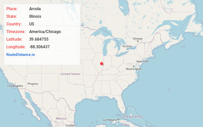
Full AddressArcola, IL 61910
-
Coordinates39.684755, -88.3064367
-
LocationArcola , Illinois , US
-
TimezoneAmerica/Chicago
-
Current Local Time7:18:44 PM America/ChicagoWednesday, July 2, 2025
-
Page Views0
About Arcola
Arcola is a city in Douglas County, Illinois, United States. The population was 2,927 at the 2020 census. The city was founded in 1855, when the Illinois Central Railroad was built through the county. The railroad itself was responsible for surveying, platting and founding the town.


Nearby Places
Found 10 places within 50 miles

Tuscola
8.0 mi
12.9 km
Tuscola, IL 61953
Get directions

Mattoon
14.4 mi
23.2 km
Mattoon, IL 61938
Get directions

Charleston
14.8 mi
23.8 km
Charleston, IL
Get directions

Sullivan
17.1 mi
27.5 km
Sullivan, IL 61951
Get directions

Tolono
21.0 mi
33.8 km
Tolono, IL 61880
Get directions

Savoy
25.7 mi
41.4 km
Savoy, IL
Get directions

Monticello
27.6 mi
44.4 km
Monticello, IL 61856
Get directions

Urbana
29.9 mi
48.1 km
Urbana, IL
Get directions

Champaign
30.0 mi
48.3 km
Champaign, IL
Get directions

Mt Zion
30.8 mi
49.6 km
Mt Zion, IL
Get directions
Location Links
Local Weather
Weather Information
Coming soon!
Location Map
Static map view of Arcola, Illinois
Browse Places by Distance
Places within specific distances from Arcola
Short Distances
Long Distances
Click any distance to see all places within that range from Arcola. Distances shown in miles (1 mile ≈ 1.61 kilometers).