Distance to Sullivan, Illinois

Calculating Your Route
Just a moment while we process your request...
Location Information
-
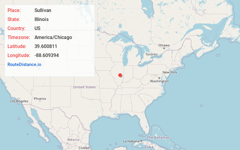
Full AddressSullivan, IL 61951
-
Coordinates39.6008112, -88.6093935
-
LocationSullivan , Illinois , US
-
TimezoneAmerica/Chicago
-
Current Local Time10:00:31 PM America/ChicagoThursday, May 29, 2025
-
Page Views0
About Sullivan
Sullivan is the largest city and the county seat of Moultrie County, Illinois, United States. The population was 4,413 at the time of the 2020 census. Sullivan is named after Sullivan's Island, South Carolina, where Fort Moultrie is located.


Nearby Places
Found 10 places within 50 miles

Mattoon
15.0 mi
24.1 km
Mattoon, IL 61938
Get directions

Mt Zion
18.4 mi
29.6 km
Mt Zion, IL
Get directions

Tuscola
22.1 mi
35.6 km
Tuscola, IL 61953
Get directions

Charleston
24.2 mi
38.9 km
Charleston, IL
Get directions

Decatur
24.7 mi
39.8 km
Decatur, IL
Get directions

Pana
29.1 mi
46.8 km
Pana, IL 62557
Get directions

Monticello
29.6 mi
47.6 km
Monticello, IL 61856
Get directions

Effingham
33.4 mi
53.8 km
Effingham, IL 62401
Get directions

Savoy
36.7 mi
59.1 km
Savoy, IL
Get directions

Taylorville
36.7 mi
59.1 km
Taylorville, IL
Get directions
Location Links
Local Weather
Weather Information
Coming soon!
Location Map
Static map view of Sullivan, Illinois
Browse Places by Distance
Places within specific distances from Sullivan
Short Distances
Long Distances
Click any distance to see all places within that range from Sullivan. Distances shown in miles (1 mile ≈ 1.61 kilometers).