Distance to Hunter, Oklahoma

Calculating Your Route
Just a moment while we process your request...
Location Information
-
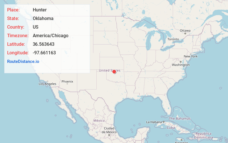
Full AddressHunter, OK 74640
-
Coordinates36.5636432, -97.661163
-
LocationHunter , Oklahoma , US
-
TimezoneAmerica/Chicago
-
Current Local Time8:43:54 PM America/ChicagoSaturday, May 31, 2025
-
Page Views0
About Hunter
Hunter is a town in Garfield County, Oklahoma, United States. It is located about 17 miles northeast of Enid, Oklahoma, and about 4 miles west of combined State 15 and State 74. The population was 145 as of the 2020 Census.


Nearby Places
Found 10 places within 50 miles

Kremlin
9.5 mi
15.3 km
Kremlin, OK 73753
Get directions

Garber
9.7 mi
15.6 km
Garber, OK 73738
Get directions

Breckinridge
9.7 mi
15.6 km
Breckinridge, OK 73701
Get directions

Lamont
10.5 mi
16.9 km
Lamont, OK 74643
Get directions

Pond Creek
10.7 mi
17.2 km
Pond Creek, OK 73766
Get directions

Billings
12.3 mi
19.8 km
Billings, OK 74630
Get directions
North Enid
14.5 mi
23.3 km
North Enid, OK 73701
Get directions

Enid
16.7 mi
26.9 km
Enid, OK
Get directions

Medford
17.3 mi
27.8 km
Medford, OK 73759
Get directions

Covington
18.2 mi
29.3 km
Covington, OK 73730
Get directions
Location Links
Local Weather
Weather Information
Coming soon!
Location Map
Static map view of Hunter, Oklahoma
Browse Places by Distance
Places within specific distances from Hunter
Short Distances
Long Distances
Click any distance to see all places within that range from Hunter. Distances shown in miles (1 mile ≈ 1.61 kilometers).