Distance to Lamont, Oklahoma

Calculating Your Route
Just a moment while we process your request...
Location Information
-
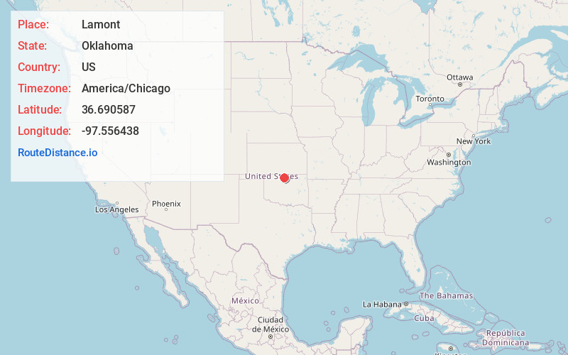
Full AddressLamont, OK 74643
-
Coordinates36.690587, -97.5564376
-
LocationLamont , Oklahoma , US
-
TimezoneAmerica/Chicago
-
Current Local Time11:03:36 PM America/ChicagoSunday, June 1, 2025
-
Page Views0
About Lamont
Lamont is a town in Grant County, Oklahoma, United States, situated along the Salt Fork Arkansas River. The population was 417 at the 2010 census, a decline of 10.3 percent from the figure of 465 in 2000.


Nearby Places
Found 10 places within 50 miles

Medford
12.7 mi
20.4 km
Medford, OK 73759
Get directions

Billings
12.8 mi
20.6 km
Billings, OK 74630
Get directions

Pond Creek
13.6 mi
21.9 km
Pond Creek, OK 73766
Get directions

Tonkawa
13.7 mi
22.0 km
Tonkawa, OK 74653
Get directions

Blackwell
17.1 mi
27.5 km
Blackwell, OK 74631
Get directions

Garber
17.6 mi
28.3 km
Garber, OK 73738
Get directions

Kremlin
18.2 mi
29.3 km
Kremlin, OK 73753
Get directions

Caldwell
23.8 mi
38.3 km
Caldwell, KS 67022
Get directions

Marland
24.2 mi
38.9 km
Marland, OK 74644
Get directions

Wakita
24.2 mi
38.9 km
Wakita, OK 73771
Get directions
Location Links
Local Weather
Weather Information
Coming soon!
Location Map
Static map view of Lamont, Oklahoma
Browse Places by Distance
Places within specific distances from Lamont
Short Distances
Long Distances
Click any distance to see all places within that range from Lamont. Distances shown in miles (1 mile ≈ 1.61 kilometers).