Distance to Marland, Oklahoma

Calculating Your Route
Just a moment while we process your request...
Location Information
-
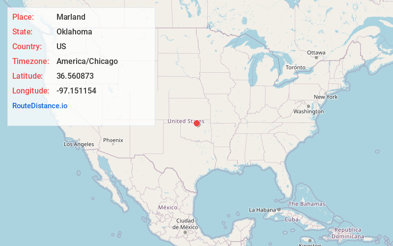
Full AddressMarland, OK 74644
-
Coordinates36.5608732, -97.1511535
-
LocationMarland , Oklahoma , US
-
TimezoneAmerica/Chicago
-
Current Local Time2:55:27 PM America/ChicagoTuesday, June 17, 2025
-
Page Views0
About Marland
Marland is a town in Noble County, Oklahoma, United States. The population was 225 at the 2010 census. It was named for Ernest W. Marland, an oilman from nearby Ponca City who later became a governor of Oklahoma. Marland is on SH-156, south-southwest of Ponca City.

Nearby Places
Found 10 places within 50 miles

White Eagle
4.8 mi
7.7 km
White Eagle, OK 74601
Get directions
McCord
10.3 mi
16.6 km
McCord, OK 74604
Get directions

Ponca City
10.7 mi
17.2 km
Ponca City, OK
Get directions

Tonkawa
12.0 mi
19.3 km
Tonkawa, OK 74653
Get directions

Billings
16.4 mi
26.4 km
Billings, OK 74630
Get directions

Blackwell
18.3 mi
29.5 km
Blackwell, OK 74631
Get directions
Morrison
19.9 mi
32.0 km
Morrison, OK 73061
Get directions

Perry
20.2 mi
32.5 km
Perry, OK 73077
Get directions

Newkirk
22.9 mi
36.9 km
Newkirk, OK 74647
Get directions

Ralston
23.6 mi
38.0 km
Ralston, OK 74650
Get directions
Location Links
Local Weather
Weather Information
Coming soon!
Location Map
Static map view of Marland, Oklahoma
Browse Places by Distance
Places within specific distances from Marland
Short Distances
Long Distances
Click any distance to see all places within that range from Marland. Distances shown in miles (1 mile ≈ 1.61 kilometers).