Distance to Hunter, Missouri

Calculating Your Route
Just a moment while we process your request...
Location Information
-
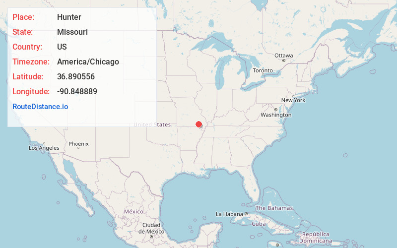
Full AddressHunter, MO 63943
-
Coordinates36.8905559, -90.848889
-
LocationHunter , Missouri , US
-
TimezoneAmerica/Chicago
-
Current Local Time11:37:38 PM America/ChicagoSunday, May 25, 2025
-
Page Views0
About Hunter
Hunter is an unincorporated community and census-designated place in Carter County, Missouri, United States. As of the 2020 census it had a population of 95.
Hunter is located on State Highway 21, approximately 4 miles north of the town of Grandin, and is about 3 miles east of the Current River.
Nearby Places
Found 10 places within 50 miles

Grandin
4.5 mi
7.2 km
Grandin, MO 63943
Get directions

Ellsinore
6.4 mi
10.3 km
Ellsinore, MO 63937
Get directions

Van Buren
11.7 mi
18.8 km
Van Buren, MO 63965
Get directions

Williamsville
17.4 mi
28.0 km
Williamsville, MO 63901
Get directions

Doniphan
18.7 mi
30.1 km
Doniphan, MO 63935
Get directions

Piedmont
20.1 mi
32.3 km
Piedmont, MO 63957
Get directions

Fairdealing
20.3 mi
32.7 km
Fairdealing, MO 63945
Get directions

Ellington
25.1 mi
40.4 km
Ellington, MO 63638
Get directions
Naylor
25.7 mi
41.4 km
Naylor, MO 63945
Get directions

Poplar Bluff
26.9 mi
43.3 km
Poplar Bluff, MO 63901
Get directions
Location Links
Local Weather
Weather Information
Coming soon!
Location Map
Static map view of Hunter, Missouri
Browse Places by Distance
Places within specific distances from Hunter
Short Distances
Long Distances
Click any distance to see all places within that range from Hunter. Distances shown in miles (1 mile ≈ 1.61 kilometers).