Distance to Van Buren, Missouri

Calculating Your Route
Just a moment while we process your request...
Location Information
-
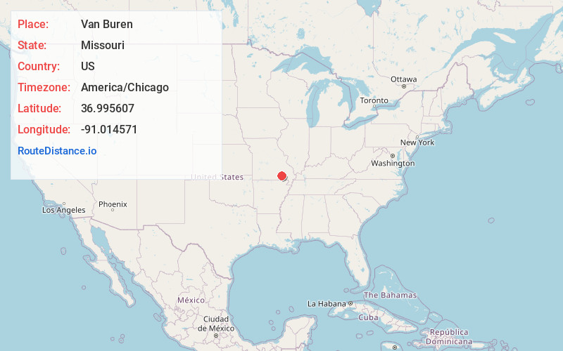
Full AddressVan Buren, MO 63965
-
Coordinates36.9956066, -91.0145714
-
LocationVan Buren , Missouri , US
-
TimezoneAmerica/Chicago
-
Current Local Time7:54:30 AM America/ChicagoThursday, June 5, 2025
-
Page Views0
About Van Buren
Van Buren is a city in Carter County, Missouri, United States. It is the county seat and largest city in Carter County. Van Buren was founded in 1833 as the county seat of Ripley County and was named after then Vice President of the United States, Martin Van Buren.


Nearby Places
Found 9 places within 50 miles

Ellington
17.2 mi
27.7 km
Ellington, MO 63638
Get directions

Piedmont
20.7 mi
33.3 km
Piedmont, MO 63957
Get directions

Doniphan
28.0 mi
45.1 km
Doniphan, MO 63935
Get directions

Mountain View
38.0 mi
61.2 km
Mountain View, MO 65548
Get directions

Poplar Bluff
38.1 mi
61.3 km
Poplar Bluff, MO 63901
Get directions

Thayer
43.5 mi
70.0 km
Thayer, MO 65791
Get directions

Ironton
46.7 mi
75.2 km
Ironton, MO 63650
Get directions

Corning
46.8 mi
75.3 km
Corning, AR 72422
Get directions

West Plains
49.9 mi
80.3 km
West Plains, MO 65775
Get directions
Location Links
Local Weather
Weather Information
Coming soon!
Location Map
Static map view of Van Buren, Missouri
Browse Places by Distance
Places within specific distances from Van Buren
Short Distances
Long Distances
Click any distance to see all places within that range from Van Buren. Distances shown in miles (1 mile ≈ 1.61 kilometers).