Distance to Hunting Island, South Carolina

Calculating Your Route
Just a moment while we process your request...
Location Information
-
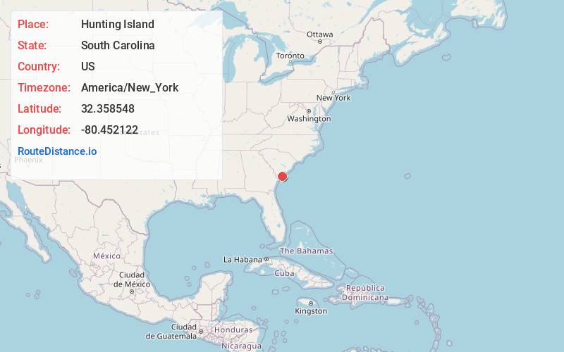
Full AddressHunting Island, South Carolina 29920
-
Coordinates32.3585481, -80.4521216
-
LocationSouth Carolina , US
-
TimezoneAmerica/New_York
-
Current Local Time5:28:41 AM America/New_YorkSaturday, June 28, 2025
-
Page Views0
About Hunting Island
State park with sandy beaches, marshes, a maritime forest, a saltwater lagoon, lighthouse & camping.


Nearby Places
Found 10 places within 50 miles

Morgan Island
9.1 mi
14.6 km
Morgan Island, South Carolina 29920
Get directions

Longwood
9.5 mi
15.3 km
Longwood, SC 29920
Get directions

St Phillips Island
10.7 mi
17.2 km
St Phillips Island, South Carolina 29920
Get directions

Edisto Beach
10.8 mi
17.4 km
Edisto Beach, SC
Get directions

Fort Fremont
11.4 mi
18.3 km
Fort Fremont, SC 29920
Get directions
Academy Estates
11.8 mi
19.0 km
Academy Estates, SC 29907
Get directions

Lands End
12.0 mi
19.3 km
Lands End, SC 29920
Get directions
Wilkins
12.3 mi
19.8 km
Wilkins, SC 29907
Get directions

Lady's Island
12.5 mi
20.1 km
Lady's Island, SC 29907
Get directions
Hazel Farm
12.6 mi
20.3 km
Hazel Farm, SC 29907
Get directions
Location Links
Local Weather
Weather Information
Coming soon!
Location Map
Static map view of Hunting Island, South Carolina
Browse Places by Distance
Places within specific distances from Hunting Island
Short Distances
Long Distances
Click any distance to see all places within that range from Hunting Island. Distances shown in miles (1 mile ≈ 1.61 kilometers).