Distance to Lands End, South Carolina

Calculating Your Route
Just a moment while we process your request...
Location Information
-
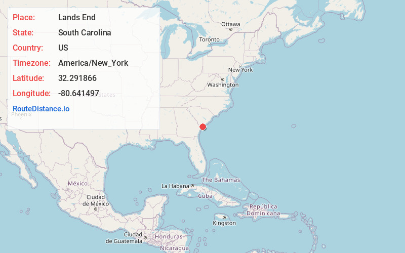
Full AddressLands End, SC 29920
-
Coordinates32.2918663, -80.6414967
-
LocationSouth Carolina , US
-
TimezoneAmerica/New_York
-
Current Local Time5:15:04 AM America/New_YorkMonday, June 2, 2025
-
Page Views0


Nearby Places
Found 10 places within 50 miles

Fort Fremont
1.2 mi
1.9 km
Fort Fremont, SC 29920
Get directions

St Phillips Island
1.7 mi
2.7 km
St Phillips Island, South Carolina 29920
Get directions

Longwood
2.8 mi
4.5 km
Longwood, SC 29920
Get directions

Folly Field Beach
6.7 mi
10.8 km
Folly Field Beach, Hilton Head Island, SC 29928
Get directions

Port Royal
6.7 mi
10.8 km
Port Royal, SC
Get directions

Singleton Beach
7.9 mi
12.7 km
Singleton Beach, Hilton Head Island, SC 29928
Get directions
Hazel Farm
8.1 mi
13.0 km
Hazel Farm, SC 29907
Get directions
Hickory Bluff
8.3 mi
13.4 km
Hickory Bluff, Hilton Head Island, SC 29926
Get directions

Shell Point
8.4 mi
13.5 km
Shell Point, SC
Get directions

Beaufort
9.8 mi
15.8 km
Beaufort, SC
Get directions
Location Links
Local Weather
Weather Information
Coming soon!
Location Map
Static map view of Lands End, South Carolina
Browse Places by Distance
Places within specific distances from Lands End
Short Distances
Long Distances
Click any distance to see all places within that range from Lands End. Distances shown in miles (1 mile ≈ 1.61 kilometers).