Distance to Shell Point, South Carolina

Calculating Your Route
Just a moment while we process your request...
Location Information
-
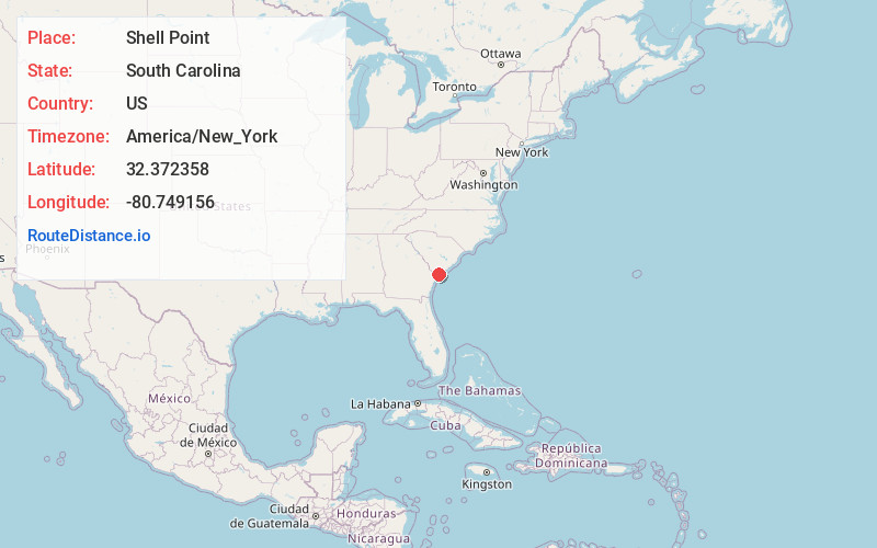
Full AddressShell Point, SC
-
Coordinates32.3723584, -80.7491563
-
LocationShell Point , South Carolina , US
-
TimezoneAmerica/New_York
-
Current Local Time5:23:55 AM America/New_YorkWednesday, June 18, 2025
-
Page Views0
About Shell Point
Shell Point is a census-designated place in Beaufort County, South Carolina, United States. The population was 2,336 at the 2010 census. Shell Point is served by the Burton Fire District. As defined by the U.S. Census Bureau, Shell Point is in the Hilton Head Island−Bluffton, SC Metropolitan Statistical Area.


Nearby Places
Found 10 places within 50 miles

Port Royal
3.3 mi
5.3 km
Port Royal, SC
Get directions

Burton
4.6 mi
7.4 km
Burton, SC
Get directions

Beaufort
6.2 mi
10.0 km
Beaufort, SC
Get directions

Laurel Bay
6.7 mi
10.8 km
Laurel Bay, SC 29906
Get directions

Bluffton
11.4 mi
18.3 km
Bluffton, SC
Get directions

Ridgeland
15.4 mi
24.8 km
Ridgeland, SC 29936
Get directions

Hardeeville
20.2 mi
32.5 km
Hardeeville, SC
Get directions

Tybee Island
26.3 mi
42.3 km
Tybee Island, GA
Get directions

Savannah
28.4 mi
45.7 km
Savannah, GA
Get directions

Port Wentworth
28.7 mi
46.2 km
Port Wentworth, GA
Get directions
Location Links
Local Weather
Weather Information
Coming soon!
Location Map
Static map view of Shell Point, South Carolina
Browse Places by Distance
Places within specific distances from Shell Point
Short Distances
Long Distances
Click any distance to see all places within that range from Shell Point. Distances shown in miles (1 mile ≈ 1.61 kilometers).