Distance to Laurel Bay, South Carolina

Calculating Your Route
Just a moment while we process your request...
Location Information
-
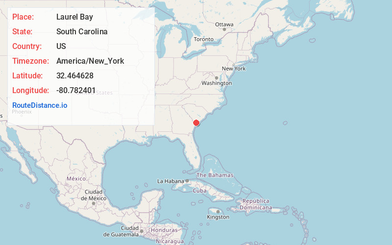
Full AddressLaurel Bay, SC 29906
-
Coordinates32.4646282, -80.7824012
-
LocationLaurel Bay , South Carolina , US
-
TimezoneAmerica/New_York
-
Current Local Time9:31:11 AM America/New_YorkWednesday, June 18, 2025
-
Page Views0
About Laurel Bay
Laurel Bay is a census-designated place and military housing complex in Beaufort County, South Carolina, United States. The population was 5,891 at the 2010 census. As defined by the U.S. Census Bureau, Laurel Bay is included within the Hilton Head Island-Bluffton-Beaufort, SC Metropolitan Statistical Area.

Nearby Places
Found 10 places within 50 miles

Burton
3.9 mi
6.3 km
Burton, SC
Get directions

Beaufort
6.9 mi
11.1 km
Beaufort, SC
Get directions

Port Royal
7.9 mi
12.7 km
Port Royal, SC
Get directions

Bluffton
16.4 mi
26.4 km
Bluffton, SC
Get directions

Hardeeville
21.3 mi
34.3 km
Hardeeville, SC
Get directions

Rincon
28.9 mi
46.5 km
Rincon, GA 31326
Get directions

Port Wentworth
31.1 mi
50.1 km
Port Wentworth, GA
Get directions

Walterboro
31.2 mi
50.2 km
Walterboro, SC 29488
Get directions

Savannah
32.1 mi
51.7 km
Savannah, GA
Get directions
Garden City
32.5 mi
52.3 km
Garden City, GA
Get directions
Location Links
Local Weather
Weather Information
Coming soon!
Location Map
Static map view of Laurel Bay, South Carolina
Browse Places by Distance
Places within specific distances from Laurel Bay
Short Distances
Long Distances
Click any distance to see all places within that range from Laurel Bay. Distances shown in miles (1 mile ≈ 1.61 kilometers).