Distance to Huntley, Nebraska

Calculating Your Route
Just a moment while we process your request...
Location Information
-
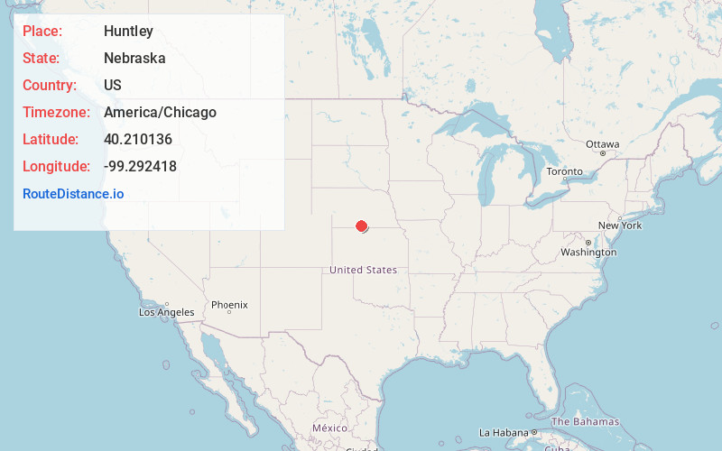
Full AddressHuntley, NE 68971
-
Coordinates40.2101364, -99.2924176
-
LocationHuntley , Nebraska , US
-
TimezoneAmerica/Chicago
-
Current Local Time12:22:42 PM America/ChicagoThursday, June 19, 2025
-
Page Views0
About Huntley
Huntley is a village in Harlan County, Nebraska, United States. The population was 44 at the 2010 census.
Nearby Places
Found 10 places within 50 miles

Republican City
8.5 mi
13.7 km
Republican City, NE 68971
Get directions

Alma
8.6 mi
13.8 km
Alma, NE 68920
Get directions

Orleans
10.1 mi
16.3 km
Orleans, NE 68966
Get directions

Naponee
12.2 mi
19.6 km
Naponee, NE 68960
Get directions
Wilcox
12.5 mi
20.1 km
Wilcox, NE 68982
Get directions

Atlanta
14.5 mi
23.3 km
Atlanta, NE 68923
Get directions
Hildreth
15.7 mi
25.3 km
Hildreth, NE 68947
Get directions
Bloomington
15.7 mi
25.3 km
Bloomington, NE
Get directions

Holdrege
16.4 mi
26.4 km
Holdrege, NE 68949
Get directions

Stamford
16.9 mi
27.2 km
Stamford, NE 68977
Get directions
Location Links
Local Weather
Weather Information
Coming soon!
Location Map
Static map view of Huntley, Nebraska
Browse Places by Distance
Places within specific distances from Huntley
Short Distances
Long Distances
Click any distance to see all places within that range from Huntley. Distances shown in miles (1 mile ≈ 1.61 kilometers).