Distance to Huntsville, Utah

Calculating Your Route
Just a moment while we process your request...
Location Information
-
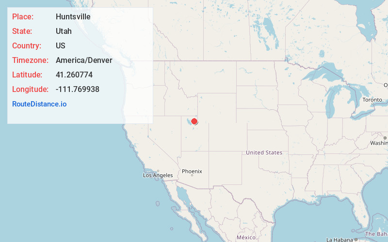
Full AddressHuntsville, UT 84317
-
Coordinates41.2607744, -111.7699379
-
LocationHuntsville , Utah , US
-
TimezoneAmerica/Denver
-
Current Local Time6:01:16 PM America/DenverSaturday, May 17, 2025
-
Website
-
Page Views0
About Huntsville
Huntsville is a town in Weber County, Utah, United States. The population was 608 at the 2010 census. It is located in Ogden Valley. It is part of the Ogden–Clearfield, Utah Metropolitan Statistical Area, as well as the Ogden Valley census county division.


Nearby Places
Found 10 places within 50 miles

Eden
3.5 mi
5.6 km
Eden, UT 84310
Get directions

Wolf Creek
5.8 mi
9.3 km
Wolf Creek, UT 84310
Get directions

Liberty
7.0 mi
11.3 km
Liberty, UT 84310
Get directions

Mountain Green
8.2 mi
13.2 km
Mountain Green, UT 84050
Get directions

North Ogden
10.4 mi
16.7 km
North Ogden, UT
Get directions

Ogden
10.8 mi
17.4 km
Ogden, UT
Get directions

Uintah
11.3 mi
18.2 km
Uintah, UT
Get directions

Harrisville
11.4 mi
18.3 km
Harrisville, UT
Get directions

South Ogden
11.5 mi
18.5 km
South Ogden, UT
Get directions

South Weber
12.2 mi
19.6 km
South Weber, UT 84405
Get directions
Location Links
Local Weather
Weather Information
Coming soon!
Location Map
Static map view of Huntsville, Utah
Browse Places by Distance
Places within specific distances from Huntsville
Short Distances
Long Distances
Click any distance to see all places within that range from Huntsville. Distances shown in miles (1 mile ≈ 1.61 kilometers).