Distance to Huron Colony, South Dakota

Calculating Your Route
Just a moment while we process your request...
Location Information
-
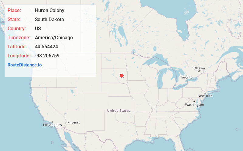
Full AddressHuron Colony, SD
-
Coordinates44.5644242, -98.2067586
-
LocationHuron Colony , South Dakota , US
-
TimezoneAmerica/Chicago
-
Current Local Time3:37:28 AM America/ChicagoWednesday, June 4, 2025
-
Page Views0
About Huron Colony
Huron Colony is a Hutterite colony and census-designated place in Beadle County, South Dakota, United States. It was first listed as a CDP prior to the 2020 census. The population of the CDP was 2 at the 2020 census.
It is in the northern part of the county, on the northeast side of the James River.
Nearby Places
Found 10 places within 50 miles

Broadland
8.6 mi
13.8 km
Broadland, SD 57350
Get directions
Hitchcock
10.9 mi
17.5 km
Hitchcock, SD 57348
Get directions
Spink Colony
13.3 mi
21.4 km
Spink Colony, SD 57440
Get directions
Morningside
13.8 mi
22.2 km
Morningside, SD 57350
Get directions

Huron
13.9 mi
22.4 km
Huron, SD 57350
Get directions
Yale
14.0 mi
22.5 km
Yale, SD 57386
Get directions
Cavour
15.8 mi
25.4 km
Cavour, SD 57324
Get directions
Glendale Colony
16.7 mi
26.9 km
Glendale Colony, SD 57440
Get directions

Wolsey
17.1 mi
27.5 km
Wolsey, SD 57384
Get directions
Clark Colony
19.1 mi
30.7 km
Clark Colony, SD 57436
Get directions
Location Links
Local Weather
Weather Information
Coming soon!
Location Map
Static map view of Huron Colony, South Dakota
Browse Places by Distance
Places within specific distances from Huron Colony
Short Distances
Long Distances
Click any distance to see all places within that range from Huron Colony. Distances shown in miles (1 mile ≈ 1.61 kilometers).