Distance to Hurricane Mountain, New York

Calculating Your Route
Just a moment while we process your request...
Location Information
-
Full AddressHurricane Mountain, New York
-
Coordinates44.2461701, -73.6984752
-
LocationNew York , US
-
TimezoneAmerica/New_York
-
Current Local Time6:31:02 AM America/New_YorkFriday, June 20, 2025
-
Page Views0


Nearby Places
Found 10 places within 50 miles

Glenmore
2.3 mi
3.7 km
Glenmore, NY 12942
Get directions

Elizabethtown
5.7 mi
9.2 km
Elizabethtown, NY 12932
Get directions

Keene Valley
5.8 mi
9.3 km
Keene Valley, NY
Get directions
St Huberts
7.2 mi
11.6 km
St Huberts, NY 12943
Get directions
Stowersville
9.2 mi
14.8 km
Stowersville, NY 12993
Get directions
North Jay
10.6 mi
17.1 km
North Jay, NY 12912
Get directions

Underwood
11.0 mi
17.7 km
Underwood, NY 12855
Get directions

Wilmington
11.4 mi
18.3 km
Wilmington, NY 12997
Get directions

Wadhams
11.8 mi
19.0 km
Wadhams, NY 12993
Get directions

Au Sable Forks
13.6 mi
21.9 km
Au Sable Forks, NY 12912
Get directions
Location Links
Local Weather
Weather Information
Coming soon!
Location Map
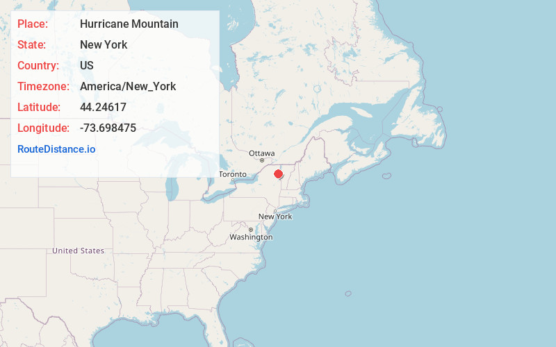
Static map view of Hurricane Mountain, New York
Browse Places by Distance
Places within specific distances from Hurricane Mountain
Short Distances
Long Distances
Click any distance to see all places within that range from Hurricane Mountain. Distances shown in miles (1 mile ≈ 1.61 kilometers).